

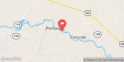
Arkansas River At Portland, Co. Realtime Data
ARKANSAS RIVER AT PORTLAND, CO.
Realtime Data • Report • Conditions
207
Discharge (cfs)
1.2
Gauge Height (ft)
Streamflow discharge was last observed at 227 cfs, and a gauge height of 1.17 feet.
With the
% decrease since yesterday,
the streamflow average over the past 10 days is 235 .
Weather today, Tomorrow,
The river is primarily fed by snowmelt and precipitation from the surrounding mountains, and its flow is regulated by several dams, including the Pueblo Dam downstream. During the summer months, flow typically decreases due to lower precipitation and increased water usage for agriculture. Interestingly, the Arkansas River is known for its whitewater rafting opportunities, with the Royal Gorge being a popular destination. Additionally, the river is significant in the history of the American West, as it was a major trade route and used by pioneers and explorers.
October 23, 2026
| Elevation | 5,039.0 ft |
| Last Updated | |
| Gage height, feet | 1.17 ft |
| Specific conductance, water, unfiltered, microsiemens per centimeter at 25°C | 455.0 uS/cm @25C |
| Temperature, water, °C | 12.9 deg C |
| Streamflow, ft3/s | 227.0 ft3/s |
| Percent of Normal | 79% |
| Year Over Year Average | 265 cfs |
| 24hr Flow Prediction | cfs |
| Maximum Recorded | 4,270 cfs |
 Continue with Snoflo Premium