

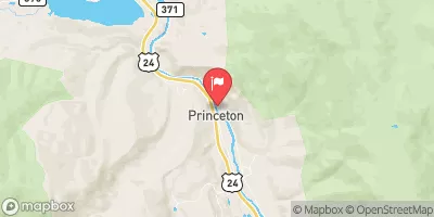
Arkansas River Below Granite, Co Realtime Data
ARKANSAS RIVER BELOW GRANITE, CO
Realtime Data • Report • Conditions
219
Discharge (cfs)
11.3
Gauge Height (ft)
Streamflow discharge was last observed at 219 cfs, and a gauge height of 11.31 feet.
With the
% decrease since yesterday,
the streamflow average over the past 10 days is 166 .
Weather today, Tomorrow,
This section of the river is fed by numerous tributaries including Lake Creek, Clear Creek, and Chalk Creek. There are several dams along the river, including the Twin Lakes and Clear Creek Reservoirs, which can impact the flow. During the spring and early summer months, the flow is typically high due to snowmelt. In contrast, the flow decreases during the fall and winter months due to decreased precipitation and cooler temperatures. One interesting fact about this section of the Arkansas River is that it is a popular spot for white water rafting and kayaking, attracting many tourists each year.
October 4, 2026
| Elevation | 8,629.0 ft |
| Last Updated | |
| Gage height, ft | 11.31 ft |
| Streamflow, ft³/s | 219.0 ft3/s |
| Percent of Normal | 128% |
| Year Over Year Average | 171 cfs |
| 24hr Flow Prediction | cfs |
| Maximum Recorded | 3,980 cfs |
 Continue with Snoflo Premium