

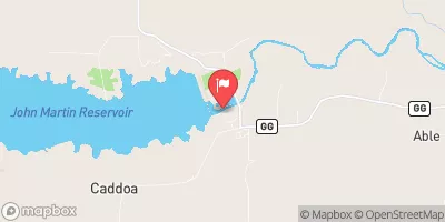
Arkansas River Below John Martin Reservoir, Co. Realtime Data
ARKANSAS RIVER BELOW JOHN MARTIN RESERVOIR, CO.
Realtime Data • Report • Conditions
11
Discharge (cfs)
0.9
Gauge Height (ft)
Streamflow discharge was last observed at 11 cfs, and a gauge height of 0.94 feet.
With the
% decrease since yesterday,
the streamflow average over the past 10 days is 42 .
Weather today, Tomorrow,
The river is primarily fed by snowmelt and precipitation, and seasonally experiences high flows in the spring and early summer. The river is also impacted by tributaries and dams, including the Purgatoire River and the John Martin Dam. Interestingly, the Arkansas River is known for its unique geology, with large boulders and rock formations that create challenging rapids for kayakers and rafters. Overall, the hydrology of the Arkansas River is an important aspect of both the natural and recreational environment in this region of Colorado.
October 25, 2026
| Elevation | 3,752.0 ft |
| Last Updated | |
| Gage height, ft | 0.94 ft |
| Stream water level elevation above NAVD 1988, in ft | 3746.62 ft |
| Streamflow, ft³/s | 11.1 ft3/s |
| Specific conductance, water, unfiltered, microsiemens per centimeter at 25°C | 1700.0 uS/cm @25C |
| Temperature, water, °C | 14.5 deg C |
| Percent of Normal | 12% |
| Year Over Year Average | 100 cfs |
| 24hr Flow Prediction | cfs |
| Maximum Recorded | 1,930 cfs |
 Continue with Snoflo Premium