

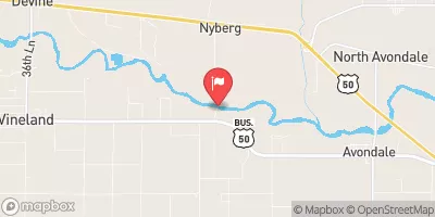
Arkansas River Near Avondale, Co. Realtime Data
ARKANSAS RIVER NEAR AVONDALE, CO.
Realtime Data • Report • Conditions
285
Discharge (cfs)
2.8
Gauge Height (ft)
Streamflow discharge was last observed at 285 cfs, and a gauge height of 2.83 feet.
With the
% decrease since yesterday,
the streamflow average over the past 10 days is 267 .
Weather today, Tomorrow,
The river is also fed by several tributaries, including Fountain Creek and the Purgatoire River. The Pueblo Dam, located downstream of the Avondale gauge, can affect the flow rates in the river. Seasonal trends in the flow rates vary depending on precipitation and snowmelt, with peak flows typically occurring in late May or early June. Interesting facts about the hydrology of the Arkansas River include its important role in supporting agriculture in the region, as well as its popularity for recreational activities such as fishing and whitewater rafting.
October 23, 2026
| Elevation | 4,521.0 ft |
| Last Updated | |
| Gage height, ft | 2.83 ft |
| Stream water level elevation above NAVD 1988, in ft | 4513.82 ft |
| Streamflow, ft³/s | 285.0 ft3/s |
| Specific conductance, water, unfiltered, microsiemens per centimeter at 25°C | 981.0 uS/cm @25C |
| Dissolved oxygen, water, unfiltered, mg/L | 7.8 mg/l |
| pH, water, unfiltered, field, standard units | 8.2 std units |
| Temperature, water, °C | 16.0 deg C |
| Percent of Normal | 77% |
| Year Over Year Average | 374 cfs |
| 24hr Flow Prediction | cfs |
| Maximum Recorded | 10,200 cfs |
 Continue with Snoflo Premium