 Get More With Premium


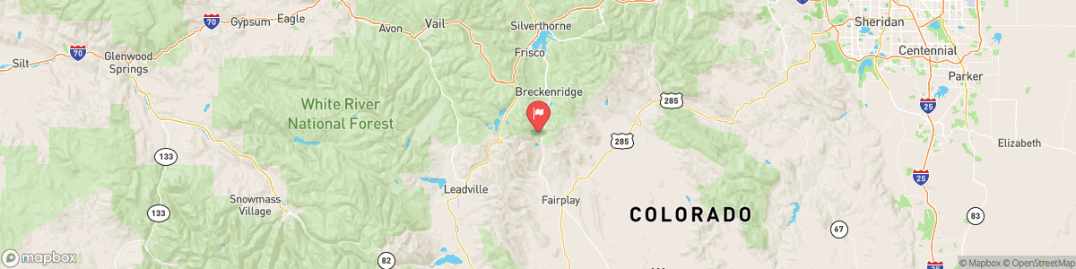
BEMROSE HOOSIER DIVERSION NEAR HOOSIER PASS
USGS 09044300
WINTER WEATHER ADVISORY
* WHAT...Snow expected. Total snow accumulations between 2 and 8 inches with localized higher amounts possible for the Mosquito Range. * WHERE...The Mountains of Summit County, the Mosquito Range, and the Indian Peaks, and South Park. * WHEN...Until 2 AM MST Thursday. * IMPACTS...Travel could be difficult. Roads will become slippery in spots, including for the US 285 corridor. The hazardous conditions will impact the Wednesday evening commute.

Today, Mostly clear, with a low around 47. West southwest wind around 8 mph.
Tomorrow, Mostly clear, with a low around 47. West southwest wind around 8 mph.
5-Day Forecast
Long Term Forecast
16-Day Forecast