 Get More With Premium


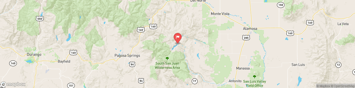
CONEJOS RIVER BELOW PLATORO RESERVOIR
USGS 08245000
FLOOD WARNING
* WHAT...Flooding caused by excessive rainfall continues. * WHERE...Western Conejos County in south central Colorado... * WHEN...Until 1245 PM MDT. * IMPACTS...Flooding of the Conejos River, area creeks, streams, and other low-lying and flood-prone locations is imminent or occurring. Streams continue to rise due to excess runoff from earlier rainfall. * ADDITIONAL DETAILS... - At 1031 AM MDT, Doppler radar and automated rain gauges indicated heavy rain. Flooding is already occurring in the warned area. ...

Today, Rain likely, possibly mixed with snow showers before 8am, then rain showers likely between 8am and 5pm, then a chance of rain and snow showers after 5pm. Some thunder is also possible. Partly sunny, with a high near 46. Southwest wind 10 to 15 mph, with gusts as high as 40 mph. Chance of precipitation is 60%. Little or no snow accumulation expected.
Tomorrow, Rain likely, possibly mixed with snow showers before 8am, then rain showers likely between 8am and 5pm, then a chance of rain and snow showers after 5pm. Some thunder is also possible. Partly sunny, with a high near 46. Southwest wind 10 to 15 mph, with gusts as high as 40 mph. Chance of precipitation is 60%. Little or no snow accumulation expected.
5-Day Forecast
Long Term Forecast
16-Day Forecast