

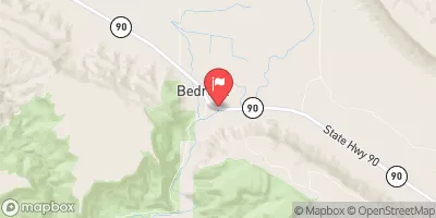
Dolores River At Bedrock, Co. Realtime Data
DOLORES RIVER AT BEDROCK, CO.
Realtime Data • Report • Conditions
42
Discharge (cfs)
2.5
Gauge Height (ft)
USGS 09169500
Streamflow discharge was last observed at 155 cfs, and a gauge height of 2.54 feet.
With the
% decrease since yesterday,
the streamflow average over the past 10 days is 28 .
Weather today, Tomorrow,
The river runs through several tributaries and is impacted by dams, including the McPhee Dam, which can affect seasonal flow patterns. In the summer, the river flow typically decreases due to lower snowmelt and increased irrigation demand. Interestingly, the Dolores River was once a major source of uranium mining in the area, but this activity has since ceased. Overall, the hydrology of the Dolores River provides important information for water management in the region.
October 14, 2026
| Elevation | 4,954.0 ft |
| Last Updated | |
| Gage height, ft | 2.54 ft |
| Residue, water, dissolved, tons per day | 179.0 tons/day |
| Stream water level elevation above NAVD 1988, in ft | 4945.13 ft |
| Streamflow, ft³/s | 155.0 ft3/s |
| Residue, dissolved, water, filtered, estimated by regression equation, mg/L | 430.0 mg/l |
| Specific conductance, water, unfiltered, microsiemens per centimeter at 25°C | 759.0 uS/cm @25C |
| Temperature, water, °C | 12.7 deg C |
| Percent of Normal | 92% |
| Year Over Year Average | 45 cfs |
| 24hr Flow Prediction | cfs |
| Maximum Recorded | 4,110 cfs |
 Continue with Snoflo Premium