

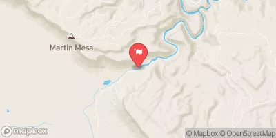
Dolores River Near Bedrock, Co. Realtime Data
DOLORES RIVER NEAR BEDROCK, CO.
Realtime Data • Report • Conditions
330
Discharge (cfs)
5.5
Gauge Height (ft)
USGS 09171100
Streamflow discharge was last observed at 995 cfs, and a gauge height of 5.48 feet.
With the
% decrease since yesterday,
the streamflow average over the past 10 days is 143 .
Weather today, Tomorrow,
The river is fed by snowmelt and precipitation from the surrounding mountains, and its flow is controlled by several dams, including the McPhee Dam. Seasonal trends show that the river typically experiences its highest flows in late spring and early summer, while flow rates decrease in the fall and winter months. In addition to its importance for water supply and hydroelectric power, the Dolores River is also a popular destination for outdoor recreation, including rafting and fishing.
October 15, 2026
| Elevation | 4,913.0 ft |
| Last Updated | |
| Gage height, ft | 5.48 ft |
| Residue, water, dissolved, tons per day | 799.0 tons/day |
| Residue, dissolved, water, filtered, estimated by regression equation, mg/L | 300.0 mg/l |
| Streamflow, ft³/s | 995.0 ft3/s |
| Specific conductance, water, unfiltered, microsiemens per centimeter at 25°C | 529.0 uS/cm @25C |
| Temperature, water, °C | 12.1 deg C |
| Percent of Normal | 853% |
| Year Over Year Average | 39 cfs |
| 24hr Flow Prediction | cfs |
| Maximum Recorded | 4,160 cfs |
 Continue with Snoflo Premium