

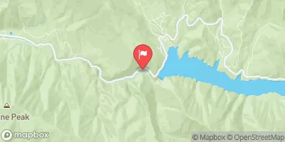
Fryingpan River Near Ruedi, Co. Realtime Data
FRYINGPAN RIVER NEAR RUEDI, CO.
Realtime Data • Report • Conditions
47
Discharge (cfs)
1.0
Gauge Height (ft)
USGS 09080400
Streamflow discharge was last observed at 47 cfs, and a gauge height of 0.98 feet.
With the
% decrease since yesterday,
the streamflow average over the past 10 days is 79 .
Weather today, Tomorrow,
The river is fed by snowmelt and springs from the surrounding Fryingpan Wilderness. The Ruedi Reservoir, which is located upstream from the gauge, regulates the flow of the river. During the summer months, the river experiences low flows due to increased demand for irrigation water. In the fall, the river experiences high flows due to increased precipitation and snowmelt. Interestingly, the Fryingpan River is named after a cooking utensil due to its similarity in shape to a frying pan.
October 23, 2026
| Elevation | 7,478.0 ft |
| Last Updated | |
| Gage height, ft | 0.98 ft |
| Stream water level elevation above NAVD 1988, in ft | 7479.17 ft |
| Streamflow, ft³/s | 46.6 ft3/s |
| Percent of Normal | 51% |
| Year Over Year Average | 92 cfs |
| 24hr Flow Prediction | cfs |
| Maximum Recorded | 933 cfs |
 Continue with Snoflo Premium