

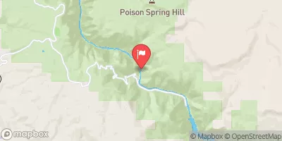
Gunnison River Below Gunnison Tunnel, Co. Realtime Data
GUNNISON RIVER BELOW GUNNISON TUNNEL, CO.
Realtime Data • Report • Conditions
271
Discharge (cfs)
1.7
Gauge Height (ft)
Streamflow discharge was last observed at 271 cfs, and a gauge height of 1.68 feet.
With the
% decrease since yesterday,
the streamflow average over the past 10 days is 222 .
Weather today, Tomorrow,
Flow is regulated by the Gunnison Tunnel, which diverts water to the Uncompahgre Valley for irrigation. The river is influenced by snowmelt, resulting in peak flows in May and June, and lower flows in the fall and winter. Tributaries include the North Fork, which adds significant flow during the runoff season. The hydrology of the river is also influenced by the Black Canyon of the Gunnison National Park, which features steep canyon walls and unique rock formations. The river is a popular destination for recreational activities such as fishing and rafting.
October 23, 2026
| Elevation | 6,518.0 ft |
| Last Updated | |
| Gage height, ft | 1.68 ft |
| Stream water level elevation above NAVD 1988, in ft | 6515.88 ft |
| Streamflow, ft³/s | 271.0 ft3/s |
| Percent of Normal | 76% |
| Year Over Year Average | 359 cfs |
| 24hr Flow Prediction | cfs |
| Maximum Recorded | 11,900 cfs |
 Continue with Snoflo Premium