

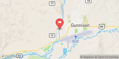
Gunnison River Near Gunnison, Co. Realtime Data
GUNNISON RIVER NEAR GUNNISON, CO.
Realtime Data • Report • Conditions
245
Discharge (cfs)
1.1
Gauge Height (ft)
USGS 09114500
Streamflow discharge was last observed at 245 cfs, and a gauge height of 1.05 feet.
With the
% decrease since yesterday,
the streamflow average over the past 10 days is 203 .
Weather today, Tomorrow,
The river is fed by snowmelt and precipitation, and its flow is regulated by several dams, including the Blue Mesa Dam. Seasonal trends show that the river experiences peak flow in late May to early June, with lower flow in the winter months. The river is known for its world-class trout fishing, and its unique geology, including the Black Canyon of the Gunnison. The Gunnison River also plays an important role in agriculture and recreation in the region.
October 16, 2026
| Elevation | 7,670.0 ft |
| Last Updated | |
| Gage height, ft | 1.05 ft |
| Stream water level elevation above NAVD 1988, in ft | 7660.95 ft |
| Streamflow, ft³/s | 245.0 ft3/s |
| Specific conductance, water, unfiltered, microsiemens per centimeter at 25°C | 276.0 uS/cm @25C |
| Dissolved oxygen, water, unfiltered, mg/L | 8.3 mg/l |
| Turbidity, water, unfiltered, monochrome near infra-red LED light, 780-900 nm, detection angle 90 ±2.5°, formazin nephelometric units (FNU) | 2.0 FNU |
| pH, water, unfiltered, field, standard units | 8.2 std units |
| Temperature, water, °C | 9.0 deg C |
| Percent of Normal | 90% |
| Year Over Year Average | 274 cfs |
| 24hr Flow Prediction | cfs |
| Maximum Recorded | 5,080 cfs |
 Continue with Snoflo Premium