 Get More With Premium


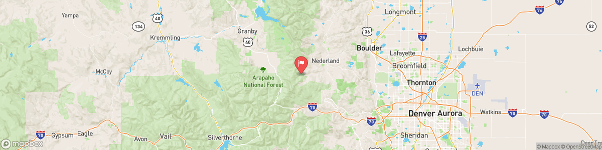
MOFFAT WATER TUNNEL AT EAST PORTAL
USGS 09022500
WINTER WEATHER ADVISORY
* WHAT...Snow expected. Total snow accumulations between 3 and 10 inches with localized higher amounts possible for the Mosquito Range. * WHERE...The Mountains of Summit County, the Mosquito Range, and the Indian Peaks, and South Park. * WHEN...From 2 PM this afternoon to 2 AM MST Thursday. * IMPACTS...Travel could be difficult. Roads will become slippery in spots, including for the US 285 corridor. The hazardous conditions will impact the Wednesday evening commute.

Today, A 30 percent chance of snow showers after 11am. Partly sunny, with a high near 38. South southwest wind 5 to 9 mph becoming east in the afternoon. Winds could gust as high as 17 mph. New snow accumulation of less than a half inch possible.
Tomorrow, A 30 percent chance of snow showers after 11am. Partly sunny, with a high near 38. South southwest wind 5 to 9 mph becoming east in the afternoon. Winds could gust as high as 17 mph. New snow accumulation of less than a half inch possible.
5-Day Forecast
Long Term Forecast
16-Day Forecast