 Get More With Premium


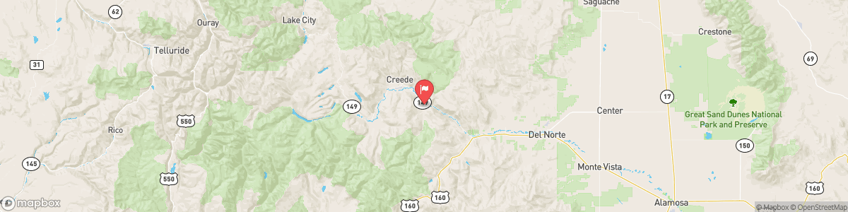
RIO GRANDE AT WAGON WHEEL GAP
USGS 08217500

Today, Rain and snow showers likely before 11am, then a chance of rain showers between 11am and 4pm, then a chance of rain and snow showers after 4pm. Some thunder is also possible. Mostly cloudy, with a high near 46. Southeast wind 5 to 10 mph becoming southwest in the afternoon. Chance of precipitation is 60%. Little or no snow accumulation expected.
Tomorrow, Rain and snow showers likely before 11am, then a chance of rain showers between 11am and 4pm, then a chance of rain and snow showers after 4pm. Some thunder is also possible. Mostly cloudy, with a high near 46. Southeast wind 5 to 10 mph becoming southwest in the afternoon. Chance of precipitation is 60%. Little or no snow accumulation expected.
5-Day Forecast
Long Term Forecast
16-Day Forecast

