

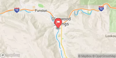
Roaring Fork River At Glenwood Springs, Co. Realtime Data
ROARING FORK RIVER AT GLENWOOD SPRINGS, CO.
Realtime Data • Report • Conditions
490
Discharge (cfs)
2.3
Gauge Height (ft)
Streamflow discharge was last observed at 822 cfs, and a gauge height of 2.30 feet.
With the
% decrease since yesterday,
the streamflow average over the past 10 days is 565 .
Weather today, Tomorrow,
The river is fed by snowmelt from the Elk Mountains and the Maroon Bells, as well as various tributaries. Seasonal trends show higher flow rates in the spring due to snowmelt and lower flow rates in the fall and winter. The river is also affected by two dams, the Ruedi Dam and the Grizzly Reservoir Dam. Interesting facts about the hydrology of the Roaring Fork River include its name, which comes from the roaring sound it makes as it flows through narrow canyons, and its status as a popular destination for whitewater rafting and fly fishing.
October 23, 2026
| Elevation | 5,726.0 ft |
| Last Updated | |
| Gage height, ft | 2.3 ft |
| Streamflow, ft³/s | 822.0 ft3/s |
| Specific conductance, water, unfiltered, microsiemens per centimeter at 25°C | 633.0 uS/cm @25C |
| Dissolved oxygen, water, unfiltered, mg/L | 8.8 mg/l |
| Turbidity, water, unfiltered, monochrome near infra-red LED light, 780-900 nm, detection angle 90 ±2.5°, formazin nephelometric units (FNU) | 194.0 FNU |
| pH, water, unfiltered, field, standard units | 8.1 std units |
| Temperature, water, °C | 10.1 deg C |
| Percent of Normal | 80% |
| Year Over Year Average | 615 cfs |
| 24hr Flow Prediction | cfs |
| Maximum Recorded | 8,490 cfs |
 Continue with Snoflo Premium