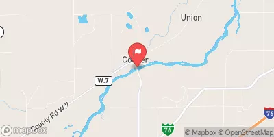
Streamflow discharge was last observed at 87 cfs, and a gauge height of 2.31 feet.
With the
% decrease since yesterday,
the streamflow average over the past 10 days is 96 .
Weather today, Tomorrow,
The river's flow is affected by various factors such as snow melt, precipitation, and human activities such as irrigation. The river is fed by several tributaries, including the Cache la Poudre River and the Big Thompson River. There are also several dams along the river, including the Cherry Creek Dam and the Chatfield Dam. Seasonal trends show that the river's flow is highest in the spring and early summer due to snow melt. Interestingly, the South Platte River was named by French fur trappers who saw the river's flat sandbars and mistook them for silver plates, hence the name "Platte," which means "flat" in French.
| Elevation | 4,140.0 ft |
| Last Updated | |
| Gage height, feet | 2.31 ft |
| Streamflow, ft3/s | 87.0 ft3/s |
| Percent of Normal | 40% |
| Year Over Year Average | 222 cfs |
| 24hr Flow Prediction | cfs |
| Maximum Recorded | 15,500 cfs |