

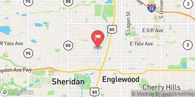
South Platte River At Englewood, Co. Realtime Data
SOUTH PLATTE RIVER AT ENGLEWOOD, CO.
Realtime Data • Report • Conditions
62
Discharge (cfs)
1.4
Gauge Height (ft)
USGS 06711565
Streamflow discharge was last observed at 62 cfs, and a gauge height of 1.44 feet.
With the
% decrease since yesterday,
the streamflow average over the past 10 days is 25 .
Weather today, Tomorrow,
The river is fed by several tributaries, including the Cherry Creek and Bear Creek, and is regulated by several dams, including the Chatfield Dam. Seasonally, the river experiences its peak flow in the spring due to snowmelt, and a low flow in the winter due to reduced precipitation. Interestingly, the South Platte River has been known to experience sudden and extreme flooding events due to heavy precipitation or rapid snowmelt, which can pose a significant threat to local communities.
October 14, 2026
| Elevation | 5,253.0 ft |
| Last Updated | |
| Gage height, ft | 1.44 ft |
| Streamflow, ft³/s | 62.2 ft3/s |
| Specific conductance, water, unfiltered, microsiemens per centimeter at 25°C | 897.0 uS/cm @25C |
| Dissolved oxygen, water, unfiltered, mg/L | 6.9 mg/l |
| pH, water, unfiltered, field, standard units | 7.8 std units |
| Temperature, water, °C | 16.0 deg C |
| Percent of Normal | 118% |
| Year Over Year Average | 52 cfs |
| 24hr Flow Prediction | cfs |
| Maximum Recorded | 4,970 cfs |
 Continue with Snoflo Premium