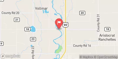
Streamflow discharge was last observed at 56 cfs, and a gauge height of 2.84 feet.
With the
% decrease since yesterday,
the streamflow average over the past 10 days is 47 .
Weather today, Tomorrow,
The river's water comes from snowmelt in the Rocky Mountains and is supplemented by water from various tributaries throughout the year. The river is heavily regulated with several dams and reservoirs, including the Chatfield Dam and Reservoir, which can impact the river's flow. The South Platte River at Fort Lupton typically experiences the highest flow in late spring and early summer due to snowmelt runoff. Interesting fact: The South Platte River at Fort Lupton was historically a major trading route for Native American tribes and European settlers.
| Elevation | 4,870.0 ft |
| Last Updated | |
| Gage height, ft | 2.84 ft |
| Streamflow, ft³/s | 56.1 ft3/s |
| Stream water level elevation above NAVD 1988, in ft | 4863.56 ft |
| Percent of Normal | 24% |
| Year Over Year Average | 236 cfs |
| 24hr Flow Prediction | cfs |
| Maximum Recorded | 7,020 cfs |