

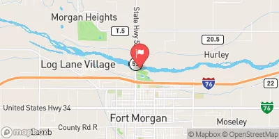
South Platte River At Fort Morgan, Co. Realtime Data
SOUTH PLATTE RIVER AT FORT MORGAN, CO.
Realtime Data • Report • Conditions
148
Discharge (cfs)
9.1
Gauge Height (ft)
Streamflow discharge was last observed at 148 cfs, and a gauge height of 9.10 feet.
With the
% decrease since yesterday,
the streamflow average over the past 10 days is 137 .
Weather today, Tomorrow,
The flow is affected by various factors, including precipitation, snowmelt, and human activities such as irrigation. The river is fed by several tributaries, including the Cache la Poudre River, which flows into the South Platte near Greeley. The river is also regulated by several dams, including the Julesburg Dam and the Prewitt Dam. Seasonal trends show that flow is highest in the spring and summer months due to snowmelt and precipitation. Interestingly, the South Platte River is known for its important role in the development of Denver, which was founded along its banks during the gold rush.
October 6, 2026
| Elevation | 4,261.0 ft |
| Last Updated | |
| Gage height, ft | 9.1 ft |
| Streamflow, ft³/s | 148.0 ft3/s |
| Stream water level elevation above NAVD 1988, in ft | 4255.18 ft |
| Percent of Normal | 45% |
| Year Over Year Average | 335 cfs |
| 24hr Flow Prediction | cfs |
| Maximum Recorded | 59,900 cfs |
 Continue with Snoflo Premium