

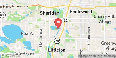
South Platte River Below Union Ave, At Englewood,C Realtime Data
SOUTH PLATTE RIVER BELOW UNION AVE, AT ENGLEWOOD,C
Realtime Data • Report • Conditions
35
Discharge (cfs)
11.1
Gauge Height (ft)
Streamflow discharge was last observed at 35 cfs, and a gauge height of 11.05 feet.
With the
% decrease since yesterday,
the streamflow average over the past 10 days is 16 .
Weather today, Tomorrow,
The river's water flow is primarily sourced from snowmelt in the Rocky Mountains, with a contribution from upstream reservoirs. The river is impacted by several tributaries, including Clear Creek and Cherry Creek, and several dams, including Chatfield and Barr Lake. In the summer, the river's flow is generally lower due to decreased snowmelt and increased water usage. Interesting hydrological facts include the river's history of flooding and its designation as a Gold Medal fishery, meaning it supports fish populations and recreational fishing.
October 16, 2026
| Elevation | 5,294.0 ft |
| Last Updated | |
| Gage height, ft | 11.05 ft |
| Stream water level elevation above NAVD 1988, in ft | 5294.7 ft |
| Streamflow, ft³/s | 34.9 ft3/s |
| Percent of Normal | 129% |
| Year Over Year Average | 27 cfs |
| 24hr Flow Prediction | cfs |
| Maximum Recorded | 3,140 cfs |
 Continue with Snoflo Premium