

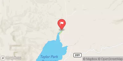
Taylor River At Taylor Park, Co. Realtime Data
TAYLOR RIVER AT TAYLOR PARK, CO.
Realtime Data • Report • Conditions
61
Discharge (cfs)
1.4
Gauge Height (ft)
Streamflow discharge was last observed at 61 cfs, and a gauge height of 1.44 feet.
With the
% decrease since yesterday,
the streamflow average over the past 10 days is 42 .
Weather today, Tomorrow,
The river is primarily fed by snowmelt and precipitation, with contributions from several tributaries such as Spring Creek and Willow Creek. The streamgauge measures flow rates and water levels, which can fluctuate seasonally due to changes in precipitation and snowmelt patterns. The Taylor Park Reservoir, a dam upstream of the streamgauge, also affects flow rates. The hydrology of the Taylor River is interesting because it is a popular destination for recreational activities such as fly fishing and kayaking, and also supports a diverse ecosystem of aquatic plants and animals.
October 16, 2026
| Elevation | 9,333.0 ft |
| Last Updated | |
| Gage height, ft | 1.44 ft |
| Stream water level elevation above NAVD 1988, in ft | 9333.77 ft |
| Streamflow, ft³/s | 61.3 ft3/s |
| Specific conductance, water, unfiltered, microsiemens per centimeter at 25°C | 137.0 uS/cm @25C |
| Temperature, water, °C | 5.2 deg C |
| Percent of Normal | 109% |
| Year Over Year Average | 56 cfs |
| 24hr Flow Prediction | cfs |
| Maximum Recorded | 892 cfs |
 Continue with Snoflo Premium