

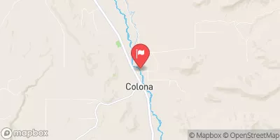
Uncompahgre River At Colona, Co. Realtime Data
UNCOMPAHGRE RIVER AT COLONA, CO.
Realtime Data • Report • Conditions
98
Discharge (cfs)
3.8
Gauge Height (ft)
Streamflow discharge was last observed at 98 cfs, and a gauge height of 3.78 feet.
With the
% decrease since yesterday,
the streamflow average over the past 10 days is 65 .
Weather today, Tomorrow,
The river's main constituents are snowmelt and precipitation, which cause the flow to vary seasonally. The river is fed by several tributaries, including Goose Creek and Cow Creek, and is regulated by several dams, including the Ridgway Dam. In the summer, the river's flow is typically higher due to increased precipitation and snowmelt. An interesting fact about the Uncompahgre River is that it is named after the Ute Indian word for "red water," due to the iron oxide present in the riverbed. Overall, the Uncompahgre River is a valuable resource for the surrounding communities, providing water for irrigation and recreation.
October 14, 2026
| Elevation | 6,324.0 ft |
| Last Updated | |
| Gage height, ft | 3.78 ft |
| Stream water level elevation above NAVD 1988, in ft | 6324.15 ft |
| Streamflow, ft³/s | 97.6 ft3/s |
| Specific conductance, water, unfiltered, microsiemens per centimeter at 25°C | 601.0 uS/cm @25C |
| Dissolved oxygen, water, unfiltered, mg/L | 8.6 mg/l |
| Turbidity, water, unfiltered, monochrome near infra-red LED light, 780-900 nm, detection angle 90 ±2.5°, formazin nephelometric units (FNU) | 313.0 FNU |
| Temperature, water, °C | 10.0 deg C |
| Precipitation, total, in | 0.0 in |
| Percent of Normal | 142% |
| Year Over Year Average | 69 cfs |
| 24hr Flow Prediction | cfs |
| Maximum Recorded | 1,570 cfs |
 Continue with Snoflo Premium