

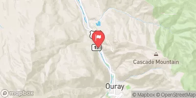
Uncompahgre River Near Ouray, Co Realtime Data
UNCOMPAHGRE RIVER NEAR OURAY, CO
Realtime Data • Report • Conditions
120
Discharge (cfs)
1.3
Gauge Height (ft)
Streamflow discharge was last observed at 102 cfs, and a gauge height of 1.33 feet.
With the
% decrease since yesterday,
the streamflow average over the past 10 days is 102 .
Weather today, Tomorrow,
The stream gauge shows that the flow is primarily fed by snowmelt from the surrounding mountains. There are several potential tributaries, such as the Bear Creek and Cow Creek, that can affect the river's flow. The river's hydrology is also impacted by the Ridgway Dam, located upstream. In the summer months, the flow typically peaks due to increased snowmelt, while in the winter months, it decreases due to lower temperatures. Interestingly, the river's name comes from the Ute Indian word "uncompaghre," meaning "red water springs," due to the river's unique reddish color caused by minerals in the surrounding rocks.
October 17, 2026
| Elevation | 7,592.0 ft |
| Last Updated | |
| Gage height, ft | 1.33 ft |
| Streamflow, ft³/s | 102.0 ft3/s |
| Stream water level elevation above NAVD 1988, in ft | 7590.88 ft |
| Percent of Normal | 285% |
| Year Over Year Average | 42 cfs |
| 24hr Flow Prediction | cfs |
| Maximum Recorded | 1,120 cfs |
 Continue with Snoflo Premium