

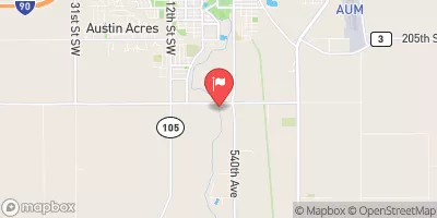
Cedar River Near Austin, Mn Realtime Data
CEDAR RIVER NEAR AUSTIN, MN
Realtime Data • Report • Conditions
411
Discharge (cfs)
3.8
Gauge Height (ft)
USGS 05457000
Streamflow discharge was last observed at 411 cfs, and a gauge height of 3.78 feet.
With the
% decrease since yesterday,
the streamflow average over the past 10 days is 452 .
Weather today, Tomorrow,
The river is fed by several small tributaries, including Hayfield Creek and Turtle Creek, and is also affected by several dams in the area. Seasonal trends can impact the flow of the river, with higher flows typically occurring during the spring snowmelt and after heavy rain events. The Cedar River is a popular spot for fishing and other outdoor activities, and it is known for its diverse aquatic wildlife. One interesting fact about the river is that it was once used as a transportation route for logs during the 19th century.
October 22, 2026
| Elevation | 1,163.0 ft |
| Last Updated | |
| Gage height, ft | 3.78 ft |
| Nitrate plus nitrite, water, in situ, mg/L as N | 7.3 mg/l as N |
| Stream water level elevation above NAVD 1988, in ft | 1165.86 ft |
| Streamflow, ft³/s | 411.0 ft3/s |
| Turbidity, water, unfiltered, monochrome near infra-red LED light, 780-900 nm, detection angle 90 ±2.5°, formazin nephelometric units (FNU) | 25.7 FNU |
| Temperature, water, degC | 20.3 deg C |
| Percent of Normal | 402% |
| Year Over Year Average | 102 cfs |
| 24hr Flow Prediction | cfs |
| Maximum Recorded | 11,100 cfs |
 Continue with Snoflo Premium