

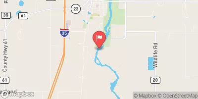
Kettle River Below Sandstone, Mn Realtime Data
KETTLE RIVER BELOW SANDSTONE, MN
Realtime Data • Report • Conditions
94
Discharge (cfs)
3.9
Gauge Height (ft)
Streamflow discharge was last observed at 97 cfs, and a gauge height of 3.90 feet.
With the
% decrease since yesterday,
the streamflow average over the past 10 days is 90 .
Weather today, Tomorrow,
The river is fed by several small tributaries and is dammed by the Banning State Park Dam. The flow of the river varies seasonally, with higher flows in the spring due to snowmelt and lower flows in the summer and fall. The river also experiences flash floods during heavy rainfall events. Interestingly, the Kettle River is known for its excellent kayaking and whitewater rafting opportunities, with rapids up to class IV. Overall, the hydrology of the Kettle River is affected by various factors, including precipitation, temperature, and human activities.
October 23, 2026
| Elevation | 936.0 ft |
| Last Updated | |
| Gage height, ft | 3.9 ft |
| Stream water level elevation above NAVD 1988, in ft | 935.71 ft |
| Streamflow, ft³/s | 97.3 ft3/s |
| Percent of Normal | 30% |
| Year Over Year Average | 319 cfs |
| 24hr Flow Prediction | cfs |
| Maximum Recorded | 24,000 cfs |
 Continue with Snoflo Premium