 Get More With Premium


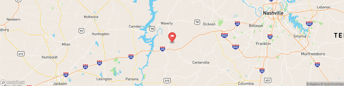
DUCK RIVER ABOVE HURRICANE MILLS
USGS 03603000
FLOOD WATCH
* WHAT...Flooding caused by excessive rainfall continues to be possible. * WHERE...A portion of Middle Tennessee, including the following counties, Bedford, Cheatham, Coffee, Davidson, Dickson, Giles, Grundy, Hickman, Humphreys, Lawrence, Lewis, Marshall, Maury, Perry, Rutherford, Wayne and Williamson. * WHEN...From late Friday night through Sunday morning. * IMPACTS...Excessive runoff may result in flooding of rivers, creeks, streams, and other low-lying and flood-prone locations. Low-water crossings may be flooded. * ADDITIONAL DETAILS... - http://www.weather.gov/safety/flood

Today, Mostly clear, with a low around 54. Calm wind becoming east around 5 mph.
Tomorrow, Mostly clear, with a low around 54. Calm wind becoming east around 5 mph.
5-Day Forecast
Long Term Forecast
16-Day Forecast

