

Tygart Valley River At Belington, Wv Realtime Data
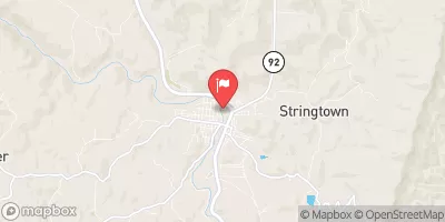
TYGART VALLEY RIVER AT BELINGTON, WV
Realtime Data • Report • Conditions
205
Discharge (cfs)
3.0
Gauge Height (ft)
Streamflow discharge was last observed at 205 cfs, and a gauge height of 3.04 feet.
With the
% decrease since yesterday,
the streamflow average over the past 10 days is 299 .
Weather today, Tomorrow,
The river is fed by various tributaries, including the Buckhannon River and the Middle Fork River. There are several dams along the river, including the Tygart Dam and the Audra Dam. Seasonal trends show that the flow is highest in the spring due to snowmelt and rainfall, and lowest in the late summer and fall. Interestingly, the Tygart Valley River is known for its excellent fishing opportunities, particularly for trout. Overall, the streamgauge provides valuable data for understanding the hydrology of the area and its potential impact on the surrounding environment.
October 7, 2026
| Elevation | 1,693.0 ft |
| Last Updated | |
| Gage height, ft | 3.04 ft |
| Precipitation, total, in | 0.0 in |
| Streamflow, ft³/s | 205.0 ft3/s |
| Percent of Normal | 284% |
| Year Over Year Average | 72 cfs |
| 24hr Flow Prediction | cfs |
| Maximum Recorded | 14,300 cfs |
 Continue with Snoflo Premium