

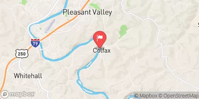
Tygart Valley River At Colfax, Wv Realtime Data
TYGART VALLEY RIVER AT COLFAX, WV
Realtime Data • Report • Conditions
2,860
Discharge (cfs)
6.6
Gauge Height (ft)
USGS 03057000
Streamflow discharge was last observed at 2,860 cfs, and a gauge height of 6.62 feet.
With the
% decrease since yesterday,
the streamflow average over the past 10 days is 5,306 .
Weather today, Tomorrow,
The river is fed by various tributaries and constituents, including the Buckhannon River and the Cheat River. The river flows through several dams, including the Tygart Dam and the Grafton Dam. In the summer, the flow of the river tends to be lower due to less precipitation, while in the winter, snowmelt and rain can cause the river to swell. An interesting fact about the Tygart Valley River is that it was once used for transportation of goods and people, with steamboats traveling up and down its waters.
October 26, 2026
| Elevation | 868.0 ft |
| Last Updated | |
| Gage height, ft | 6.62 ft |
| Streamflow, ft³/s | 2860.0 ft3/s |
| Specific conductance, water, unfiltered, microsiemens per centimeter at 25°C | 110.0 uS/cm @25C |
| pH, water, unfiltered, field, standard units | 7.6 std units |
| Temperature, water, °C | 15.5 deg C |
| Percent of Normal | 288% |
| Year Over Year Average | 990 cfs |
| 24hr Flow Prediction | cfs |
| Maximum Recorded | 20,800 cfs |
 Continue with Snoflo Premium