


Culp Lake Dam Reservoir Report
Last Updated: May 5, 2026
°F
°F
mph
Wind
%
Humidity
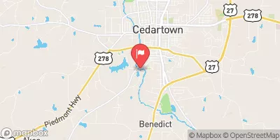
Culp Lake Dam, located in Cedartown, Georgia, is a privately-owned earth dam on Pumpkin Pile Creek primarily used for recreation.
Summary
Built in 1951 by the Natural Resources Conservation Service, this dam stands at 34.4 feet high with a storage capacity of 544 acre-feet. With a surface area of 26.6 acres and a normal storage of 327 acre-feet, Culp Lake Dam provides a picturesque setting for outdoor activities such as fishing, boating, and wildlife observation.
Despite being classified as low hazard potential and having a moderate risk assessment rating, Culp Lake Dam has not been state regulated or permitted. While the dam has undergone inspections as recently as January 2019, its condition assessment remains unrated. The dam features an uncontrolled spillway and outlet gates, with no associated structures or locks. The surrounding area, including Polk County, Georgia, benefits from the recreational opportunities provided by Culp Lake Dam, making it a valuable resource for both locals and visitors alike.
In the realm of water resource and climate enthusiasts, Culp Lake Dam serves as an interesting case study for understanding the management and maintenance of privately-owned dams for recreational purposes. With its unique design features and historical significance, this dam offers insights into the intersection of human intervention with natural water systems and the importance of monitoring and assessing the safety of such structures. As climate change continues to impact water resources and infrastructure, the ongoing evaluation and regulation of dams like Culp Lake Dam will be crucial in ensuring the safety and sustainability of these recreational assets.
Regional Streamflow Levels
 Cedar Creek At Ga Ave At Cedartown
|
5cfs |
 Cedar Creek Near Cedartown
|
90cfs |
 Tallapoosa River Below Tallapoosa
|
126cfs |
 Terrapin Creek At Ellisville Al
|
136cfs |
 Coosa River Near Rome
|
2270cfs |
 Tallapoosa River Near Heflin
|
228cfs |
15-Day Long Term Forecast
Year Completed |
1951 |
Dam Length |
323 |
Dam Height |
34.4 |
River Or Stream |
Pumpkin Pile Creek |
Primary Dam Type |
Earth |
Surface Area |
26.6 |
Hydraulic Height |
30.5 |
Nid Storage |
544 |
Outlet Gates |
Uncontrolled |
Hazard Potential |
Low |
Foundations |
Unlisted/Unknown |
Nid Height |
34 |
Seasonal Comparison
5-Day Hourly Forecast Detail
Dam Data Reference
Condition Assessment
SatisfactoryNo existing or potential dam safety deficiencies are recognized. Acceptable performance is expected under all loading conditions (static, hydrologic, seismic) in accordance with the minimum applicable state or federal regulatory criteria or tolerable risk guidelines.
Fair
No existing dam safety deficiencies are recognized for normal operating conditions. Rare or extreme hydrologic and/or seismic events may result in a dam safety deficiency. Risk may be in the range to take further action. Note: Rare or extreme event is defined by the regulatory agency based on their minimum
Poor A dam safety deficiency is recognized for normal operating conditions which may realistically occur. Remedial action is necessary. POOR may also be used when uncertainties exist as to critical analysis parameters which identify a potential dam safety deficiency. Investigations and studies are necessary.
Unsatisfactory
A dam safety deficiency is recognized that requires immediate or emergency remedial action for problem resolution.
Not Rated
The dam has not been inspected, is not under state or federal jurisdiction, or has been inspected but, for whatever reason, has not been rated.
Not Available
Dams for which the condition assessment is restricted to approved government users.
Hazard Potential Classification
HighDams assigned the high hazard potential classification are those where failure or mis-operation will probably cause loss of human life.
Significant
Dams assigned the significant hazard potential classification are those dams where failure or mis-operation results in no probable loss of human life but can cause economic loss, environment damage, disruption of lifeline facilities, or impact other concerns. Significant hazard potential classification dams are often located in predominantly rural or agricultural areas but could be in areas with population and significant infrastructure.
Low
Dams assigned the low hazard potential classification are those where failure or mis-operation results in no probable loss of human life and low economic and/or environmental losses. Losses are principally limited to the owner's property.
Undetermined
Dams for which a downstream hazard potential has not been designated or is not provided.
Not Available
Dams for which the downstream hazard potential is restricted to approved government users.
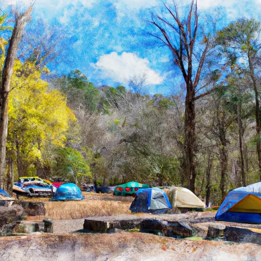
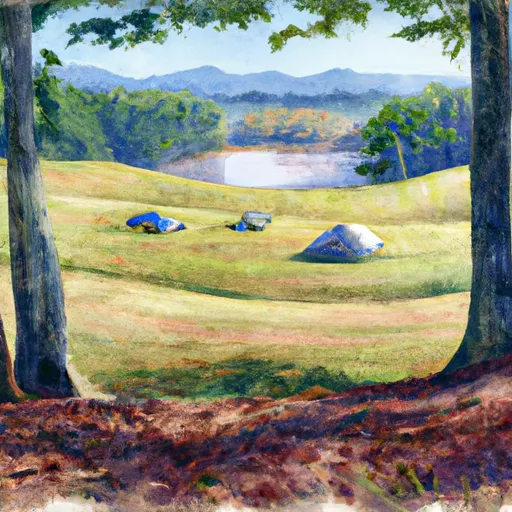
Area Campgrounds
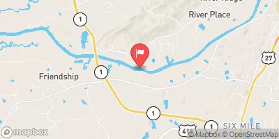
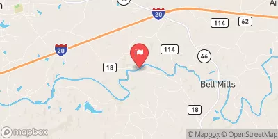
 Chief Ladiga Trail Campground
 Trailcampground Silver Comet
 VFW County Park
 Tally Valley County Park
 Coleman Lake Rec Area
 Coleman Lake Recreation Area
 Allatoona Lake Near Cartersville
 Chattahoochee River At Morgan Falls Dam
 Coleman Boat Ramp Road Cleburne County
River Runs
-
 Begins One Mile Upstream From Al 273 Bridge To Lake Weiss
-
 Al 35 Bridge To Ends One Mile Upstream From Al 273 Bridge
-
 Confluence With East And West Branches To Al 37 Bridge
-
 River Miles 8 Near Ga Sate Line To Confluence With Little River
-
 Desoto Falls In Desoto State Park To Confluence With Little River
 High Rock Lake
 Etowah River
 Finks Lake
 Morgan Lake
 Choccolocco Number 11 Lake