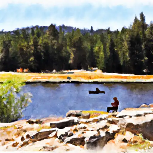
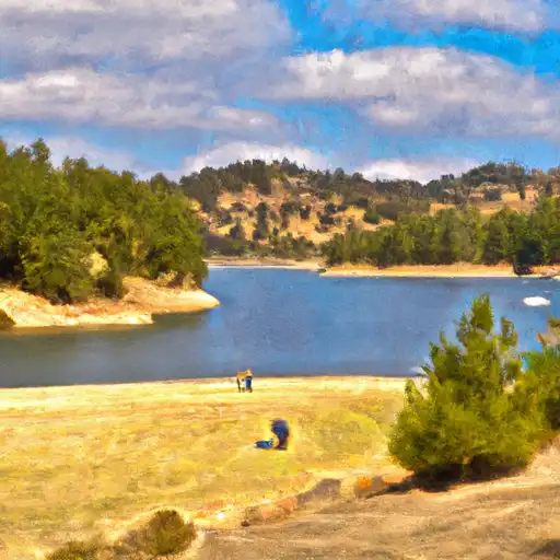
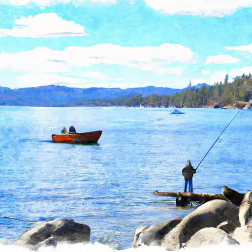
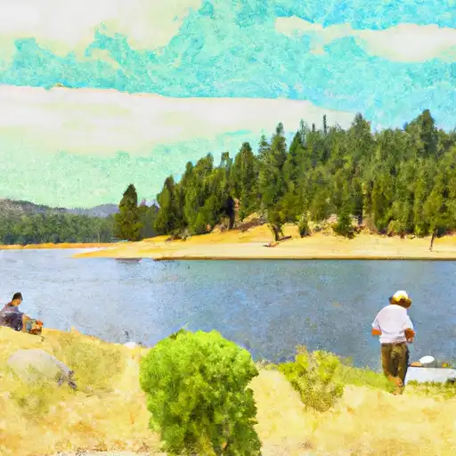
Boca Res Nr Truckee Ca Reservoir
As of July 20, 2026, Boca Res Nr Truckee Ca is holding 5,593 ft of water — 100% of normal storage for this date. Storage data refreshed throughout the day.

Boca Res Nr Truckee Ca
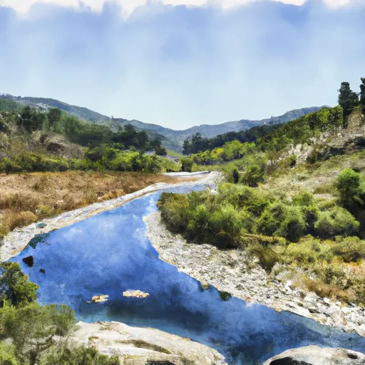
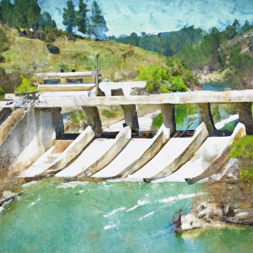
Boca Reservoir is a man-made lake in Truckee, California. It was created in 1939 by the construction of the Boca Dam on the Little Truckee River. The lake has a surface area of 980 acres and can hold up to 40,000 acre-feet of water. It serves as a source of water for the Truckee Meadows Water Authority and provides recreation opportunities for the surrounding communities, including fishing, boating, and camping. The hydrology of the reservoir is heavily influenced by the surrounding snowpack, which provides the majority of the water supply. The Little Truckee River is the primary surface flow provider for the reservoir, but several smaller streams also contribute. The surrounding area is used for agriculture, with hay and cattle grazing being common activities. Overall, Boca Reservoir is an important resource for both water supply and recreation in the Truckee area.
Daily levels at Boca Res Nr Truckee Ca
Storage volume, pool elevation, and total release plotted from the operating agency's daily observations.
Reservoir storage, acre-ft
ac-ft · code 00054
Lake or reservoir water surface elevation above NGVD 1929, ft
ft · code 62614
Plan around the weather
Same NOAA / yr.no feed Snoflo's iOS app uses. Watch the precipitation column on the meteogram -- rain on the basin upstream typically lifts inflow 24-72 hours later.
Next 5 days, hour by hour
Temperature line with weather symbols on top, snow + rain accumulation as columns, humidity as a dotted line.
5-day forecast table
Every 3 hours, broken out across temperature, snow, rain, humidity, and wind. Each cell is colour-coded relative to the column min/max.
| Time | Condition | Temp (°F) | Snow (in) | Rain (in) | Humidity (%) | Wind (mps) | Wind dir |
|---|---|---|---|---|---|---|---|
| Loading detailed forecast… | |||||||
15-day temperature & precipitation
Daily temperatures, snow, and rain projected over the next two weeks.
Nearby streamflow gauges
USGS streamgauges around Boca Res Nr Truckee Ca -- inflows here typically show up in storage 24-72 hours later.
| Streamgauge | Discharge | View |
|---|---|---|
| Little Truckee R Bl Boca Dam Nr Truckee Ca | 155 cfs | → |
| Truckee R A Boca Bridge Nr Truckee Ca | 489 cfs | → |
| Prosser C Bl Prosser C Dam Nr Truckee Ca | 43 cfs | → |
| Truckee R Bl Martis C Nr Truckee Ca | 295 cfs | → |
| Little Truckee R Ab Boca Res Nr Truckee Ca | 126 cfs | → |
| Truckee R A Farad Ca | 543 cfs | → |


About Boca Res Nr Truckee Ca
Where does the data for Boca Res Nr Truckee Ca come from?
Daily storage, pool elevation, and release rates are sourced from USGS, USBR, and USACE monitoring stations. Weather forecast comes from NOAA / yr.no -- the same feed Snoflo's iOS app uses.
How often is the report updated?
Storage observations are updated daily by the operating agency. The 15-day weather forecast refreshes throughout the day. Snoflo caches and renders the most recent observation -- check the "as of" timestamp on the storage card.
What does the Hazard hazard rating mean?
The Corps of Engineers' hazard potential classification grades probable consequences if the dam fails: High = probable loss of human life; Significant = no probable loss of human life but possible economic loss / environmental damage; Low = no probable loss of human life, only minor economic / environmental losses. See the Dam Data Reference card below for the full definitions.
What's "% of normal"?
The current storage value compared to the historical average storage on this calendar day. 100% = right on average; values above 100% mean above-normal storage (wet year); values below mean below-normal (dry year or drought).
Can I get alerts when storage crosses a threshold?
Yes -- alerts are managed in the Snoflo iOS app. Favorite this reservoir, set a threshold, and you'll get a push the moment conditions cross.