Gerle Lake Reservoir Report
Nearby: Robbs Peak Loon Lake Auxiliary
Last Updated: February 21, 2026
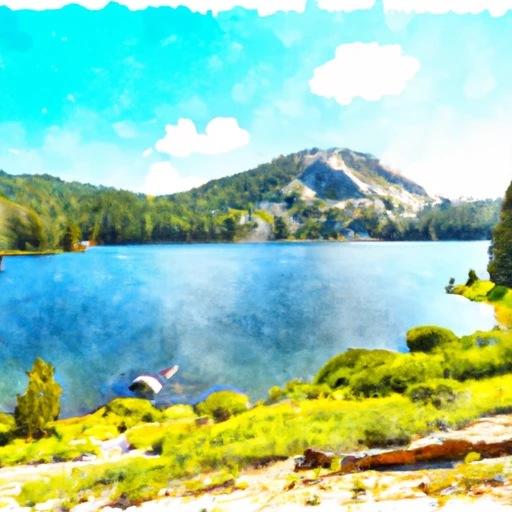
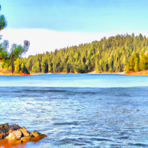
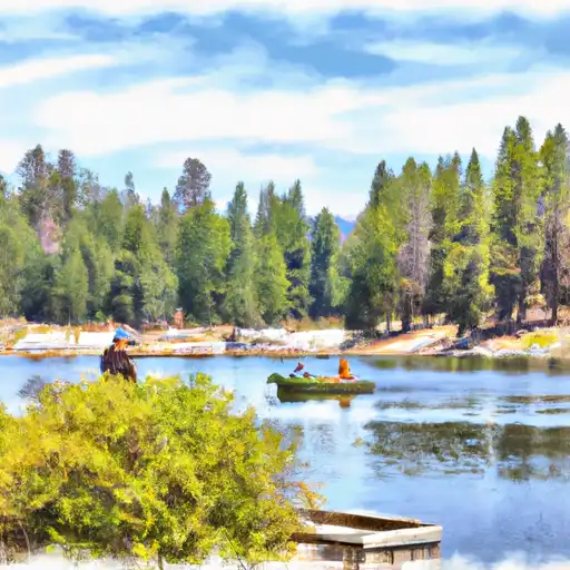
Gerle Lake is a natural lake situated in the Sierra Nevada Mountains of California.
Summary
The lake has a fascinating history, dating back to the early 1900s when it was used as a reservoir for supplying water to the town of Auburn. The hydrology of the lake is mainly supplied by surface flow from the Bear River Canal and snowmelt from the surrounding mountains. The lake is also fed by several small streams that flow into it. It is a popular recreational spot, particularly for fishing, boating, and camping. The lake is also used for agricultural purposes, with several orchards and vineyards surrounding the area. The water quality of Gerle Lake is considered to be high, and it serves as an important habitat for several species of fish and wildlife.
°F
°F
mph
Wind
%
Humidity
15-Day Weather Outlook
Reservoir Details
| Storage 24hr Change | 1.01% |
| Percent of Normal | 113% |
| Minimum |
167.0 acre-ft
2010-12-29 |
| Maximum |
1,685.0 acre-ft
2010-12-30 |
| Average | 614 acre-ft |
| Dam_Height | 65 |
| Hydraulic_Height | 64 |
| Drainage_Area | 30.9 |
| Year_Completed | 1962 |
| Nid_Storage | 831 |
| River_Or_Stream | Gerle Creek |
| Structural_Height | 73.5 |
| Primary_Dam_Type | Concrete |
| Surface_Area | 50 |
| Hazard_Potential | Low |
| Dam_Length | 444 |
| Nid_Height | 74 |
Seasonal Comparison
Storage Levels
Pool Elevation Levels
Top Conserv Storage Levels
Inflow Levels
5-Day Hourly Forecast Detail
Nearby Streamflow Levels
Dam Data Reference
Condition Assessment
SatisfactoryNo existing or potential dam safety deficiencies are recognized. Acceptable performance is expected under all loading conditions (static, hydrologic, seismic) in accordance with the minimum applicable state or federal regulatory criteria or tolerable risk guidelines.
Fair
No existing dam safety deficiencies are recognized for normal operating conditions. Rare or extreme hydrologic and/or seismic events may result in a dam safety deficiency. Risk may be in the range to take further action. Note: Rare or extreme event is defined by the regulatory agency based on their minimum
Poor A dam safety deficiency is recognized for normal operating conditions which may realistically occur. Remedial action is necessary. POOR may also be used when uncertainties exist as to critical analysis parameters which identify a potential dam safety deficiency. Investigations and studies are necessary.
Unsatisfactory
A dam safety deficiency is recognized that requires immediate or emergency remedial action for problem resolution.
Not Rated
The dam has not been inspected, is not under state or federal jurisdiction, or has been inspected but, for whatever reason, has not been rated.
Not Available
Dams for which the condition assessment is restricted to approved government users.
Hazard Potential Classification
HighDams assigned the high hazard potential classification are those where failure or mis-operation will probably cause loss of human life.
Significant
Dams assigned the significant hazard potential classification are those dams where failure or mis-operation results in no probable loss of human life but can cause economic loss, environment damage, disruption of lifeline facilities, or impact other concerns. Significant hazard potential classification dams are often located in predominantly rural or agricultural areas but could be in areas with population and significant infrastructure.
Low
Dams assigned the low hazard potential classification are those where failure or mis-operation results in no probable loss of human life and low economic and/or environmental losses. Losses are principally limited to the owner's property.
Undetermined
Dams for which a downstream hazard potential has not been designated or is not provided.
Not Available
Dams for which the downstream hazard potential is restricted to approved government users.
Area Campgrounds
| Location | Reservations | Toilets |
|---|---|---|
 Gerle Creek Campground
|
||
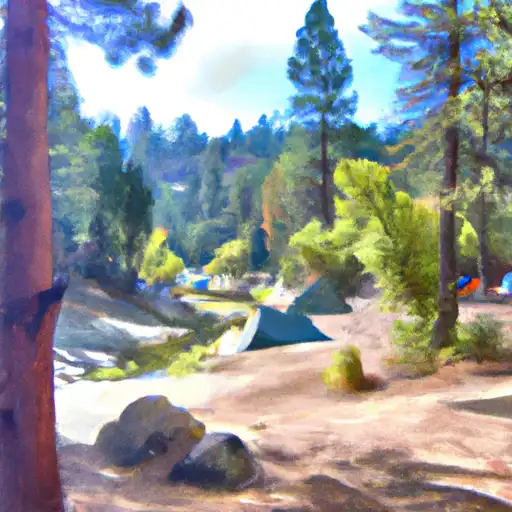 Gerle Creek
|
||
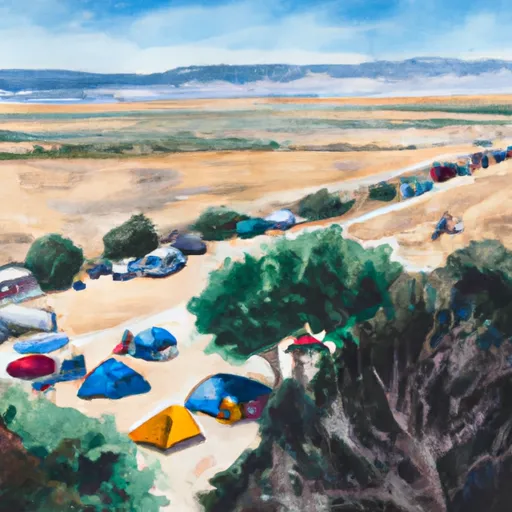 Airport Flat
|
||
 Airport Flat Campground
|
||
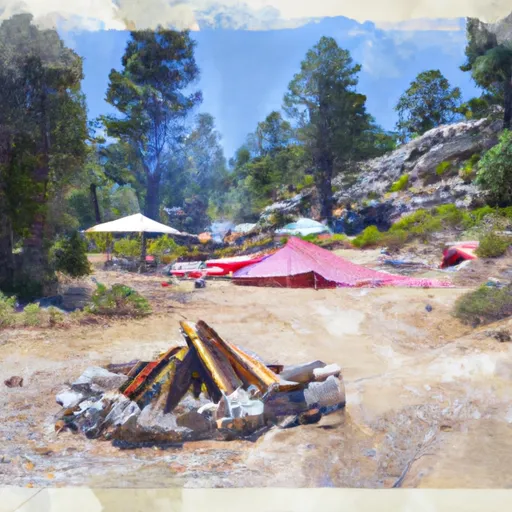 Robbs Hut
|
||
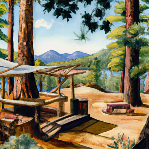 Loon Lake Chalet
|

 Gerle Creek
 Gerle Lake
 Loon Lake (Smud)
 Hell Hole (Pcwa)
 Union Valley
 Buck Island Lake
 Junction
 Dry Lakes Trail El Dorado County
 Ellicots Bridge To Big Grizzly Canyon
 Hell Hole Dam To Ellicotts Bridge
 Interbay to Oxbow (End of the World)
 Union Valley Reservoir
 Buck Island Lake
 French Meadows Reservoir
 Ice House Reservoir
 Maude Lake