Carter Lake Reservoir Report
Last Updated: February 22, 2026
Carter Lake is a reservoir located in Larimer County, Colorado, created by the construction of the Carter Lake Dam in 1950.
Summary
The lake is used for drinking water, irrigation, and recreation, including fishing, boating, and camping. Water for Carter Lake is provided by both surface flow and snowpack, with runoff from the surrounding mountains filling the reservoir. The lake also receives water from the Big Thompson River. Agriculture in the surrounding area uses water from the lake for irrigation, and the reservoir is a popular destination for recreational activities such as hiking, mountain biking, and camping. The lake is named after Benjamin Harrison Carter, a settler who established a farm in the area in the late 1800s.
°F
°F
mph
Wind
%
Humidity
15-Day Weather Outlook
Reservoir Details
| Storage 24hr Change | 0.51% |
| Percent of Normal | 121% |
| Minimum |
3,446.0 acre-ft
1954-03-05 |
| Maximum |
113,248.5 acre-ft
2011-06-10 |
| Average | 86,650 acre-ft |
| Dam_Height | 214 |
| Hydraulic_Height | 190 |
| Drainage_Area | 4 |
| Year_Completed | 1951 |
| Nid_Storage | 116837 |
| Structural_Height | 214 |
| Primary_Dam_Type | Earth |
| Foundations | Rock |
| Surface_Area | 3551 |
| River_Or_Stream | BIG THOMPSON RIVER OS |
| Dam_Length | 1235 |
| Hazard_Potential | High |
| Nid_Height | 214 |
Seasonal Comparison
Storage Levels
Storage Levels
Pool Elevation Levels
5-Day Hourly Forecast Detail
Nearby Streamflow Levels
Dam Data Reference
Condition Assessment
SatisfactoryNo existing or potential dam safety deficiencies are recognized. Acceptable performance is expected under all loading conditions (static, hydrologic, seismic) in accordance with the minimum applicable state or federal regulatory criteria or tolerable risk guidelines.
Fair
No existing dam safety deficiencies are recognized for normal operating conditions. Rare or extreme hydrologic and/or seismic events may result in a dam safety deficiency. Risk may be in the range to take further action. Note: Rare or extreme event is defined by the regulatory agency based on their minimum
Poor A dam safety deficiency is recognized for normal operating conditions which may realistically occur. Remedial action is necessary. POOR may also be used when uncertainties exist as to critical analysis parameters which identify a potential dam safety deficiency. Investigations and studies are necessary.
Unsatisfactory
A dam safety deficiency is recognized that requires immediate or emergency remedial action for problem resolution.
Not Rated
The dam has not been inspected, is not under state or federal jurisdiction, or has been inspected but, for whatever reason, has not been rated.
Not Available
Dams for which the condition assessment is restricted to approved government users.
Hazard Potential Classification
HighDams assigned the high hazard potential classification are those where failure or mis-operation will probably cause loss of human life.
Significant
Dams assigned the significant hazard potential classification are those dams where failure or mis-operation results in no probable loss of human life but can cause economic loss, environment damage, disruption of lifeline facilities, or impact other concerns. Significant hazard potential classification dams are often located in predominantly rural or agricultural areas but could be in areas with population and significant infrastructure.
Low
Dams assigned the low hazard potential classification are those where failure or mis-operation results in no probable loss of human life and low economic and/or environmental losses. Losses are principally limited to the owner's property.
Undetermined
Dams for which a downstream hazard potential has not been designated or is not provided.
Not Available
Dams for which the downstream hazard potential is restricted to approved government users.
Area Campgrounds
| Location | Reservations | Toilets |
|---|---|---|
 Carter Lake - South Side Campgrounds
|
||
 North Pine Campground
|
||
 Carter Lake - North Side Campgrounds
|
||
 Flatiron Reservoir
|
||
 Pinewood Reservoir
|
||
 Meadow Park
|

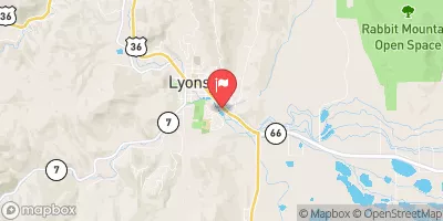
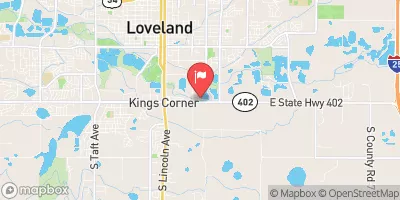
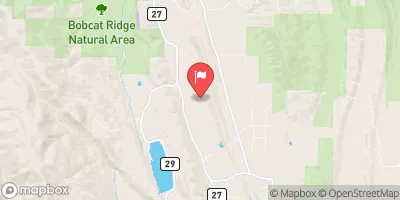

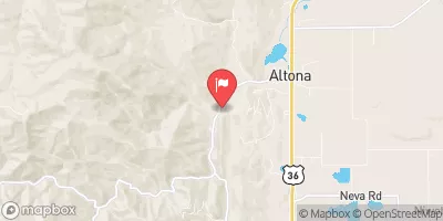

 Carter Lake Dam No. 1
 Carter Lake
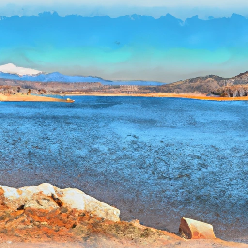 Flatiron Reservoir Nr Loveland
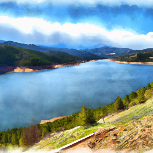 Pinewood Reservoir
 Black Bear Hole & A-Hole
 October Hole
 Main Section
 Gnar Section
 Flatiron Reservoir
 Lon Hagler Reservoir
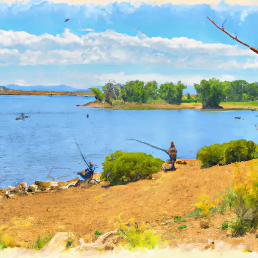 Lonetree Reservoir
 Pinewood Reservoir
 Boedecker Reservoir