Mud Gulch Det. Mg-1 Reservoir Report
Nearby: Abbey Detention Basin Lower Turner
Last Updated: February 22, 2026
Mud Gulch Det.
Summary
Mg-1, located in Fremont County, Colorado, is a significant earth dam completed in 1971 by the Soil Conservation Service, USDA NRCS. This flood risk reduction structure on the Arkansas River-TR has a height of 48 feet and a hydraulic height of 60 feet, with a maximum storage capacity of 773 acre-feet. With a structural height of 69 feet and a length of 428 feet, the dam serves to mitigate potential flooding in the area.
Managed by the local government and regulated by the Colorado Department of Water Resources, Mud Gulch Det. Mg-1 has been assessed as being in satisfactory condition as of November 2018. Despite its significant hazard potential, the dam's risk assessment is moderate, with a designated inspection frequency of three years. With uncontrolled spillways and a maximum discharge capacity of 16,000 cubic feet per second, this structure plays a crucial role in safeguarding the surrounding area from potential flood events.
Furthermore, the dam's emergency action plan (EAP) status and risk management measures remain unspecified, highlighting the importance of ongoing monitoring and preparedness for any unforeseen events. With its location in a region susceptible to climate change impacts, the maintenance and upkeep of Mud Gulch Det. Mg-1 are essential for ensuring the safety and resilience of the local community and environment in the face of evolving water resource challenges.
°F
°F
mph
Wind
%
Humidity
15-Day Weather Outlook
Year Completed |
1971 |
Dam Length |
428 |
Dam Height |
48 |
River Or Stream |
ARKANSAS RIVER-TR |
Primary Dam Type |
Earth |
Surface Area |
30 |
Hydraulic Height |
60 |
Drainage Area |
2 |
Nid Storage |
773 |
Structural Height |
69 |
Outlet Gates |
Uncontrolled - 0 |
Hazard Potential |
Significant |
Nid Height |
69 |
Seasonal Comparison
5-Day Hourly Forecast Detail
Nearby Streamflow Levels
Dam Data Reference
Condition Assessment
SatisfactoryNo existing or potential dam safety deficiencies are recognized. Acceptable performance is expected under all loading conditions (static, hydrologic, seismic) in accordance with the minimum applicable state or federal regulatory criteria or tolerable risk guidelines.
Fair
No existing dam safety deficiencies are recognized for normal operating conditions. Rare or extreme hydrologic and/or seismic events may result in a dam safety deficiency. Risk may be in the range to take further action. Note: Rare or extreme event is defined by the regulatory agency based on their minimum
Poor A dam safety deficiency is recognized for normal operating conditions which may realistically occur. Remedial action is necessary. POOR may also be used when uncertainties exist as to critical analysis parameters which identify a potential dam safety deficiency. Investigations and studies are necessary.
Unsatisfactory
A dam safety deficiency is recognized that requires immediate or emergency remedial action for problem resolution.
Not Rated
The dam has not been inspected, is not under state or federal jurisdiction, or has been inspected but, for whatever reason, has not been rated.
Not Available
Dams for which the condition assessment is restricted to approved government users.
Hazard Potential Classification
HighDams assigned the high hazard potential classification are those where failure or mis-operation will probably cause loss of human life.
Significant
Dams assigned the significant hazard potential classification are those dams where failure or mis-operation results in no probable loss of human life but can cause economic loss, environment damage, disruption of lifeline facilities, or impact other concerns. Significant hazard potential classification dams are often located in predominantly rural or agricultural areas but could be in areas with population and significant infrastructure.
Low
Dams assigned the low hazard potential classification are those where failure or mis-operation results in no probable loss of human life and low economic and/or environmental losses. Losses are principally limited to the owner's property.
Undetermined
Dams for which a downstream hazard potential has not been designated or is not provided.
Not Available
Dams for which the downstream hazard potential is restricted to approved government users.

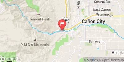
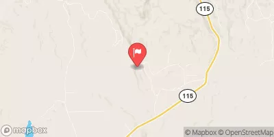
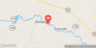
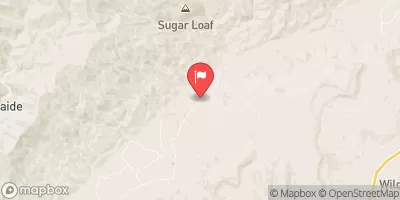


 Grape Creek - Temple Canyon Park
 Sand Gulch Campground Campsite 16
 Sand Gulch Campground Campsite 15
 Sand Gulch Campground Campsite 14
 Sand Gulch Campground Campsite 13
 Sand Gulch Campground Campsite 12
 Mud Gulch Det. Mg-1
 Beaver Creek
 Grape Creek Segment 3
 Eightmile Creek
 Arkansas River Segment 4