Karval Dam

Karval
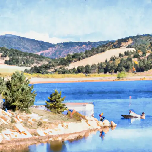
Karval, located in Lincoln County, Colorado, is home to a significant water resource known as Adobe Creek. This earth dam, completed in 1959, serves multiple purposes including fish and wildlife pond maintenance and recreation. With a maximum storage capacity of 410 acre-feet, the dam stands at a height of 48 feet and stretches 590 feet in length. Despite its low hazard potential, the condition assessment in 2020 deemed it unsatisfactory, highlighting the need for maintenance and potential improvements.
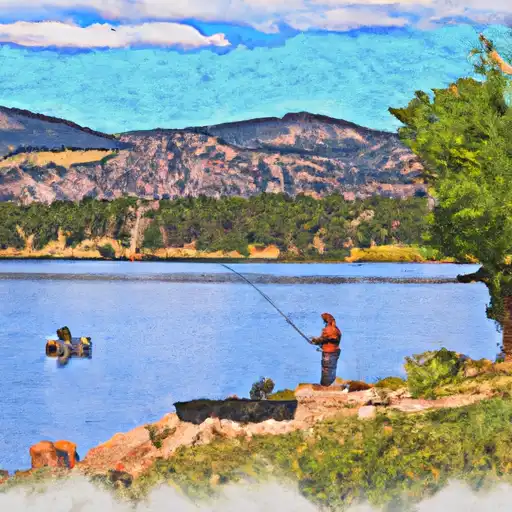
The dam's location in the city of Las Animas, just 47 miles away from the Kansas City District, makes it a prime spot for water and climate enthusiasts to explore. The recreational opportunities provided by Karval's surface area of 21 acres and drainage area of 6 square miles, coupled with its proximity to the scenic Adobe Creek, offer a picturesque setting for outdoor activities. Although currently maintaining a high risk assessment due to its condition, the dam's role in supporting fish and wildlife habitats underscores its importance as a vital resource in the region.
With the state's regulatory agency, the Colorado Division of Water Resources (DWR), actively involved in permitting, inspecting, and enforcing regulations for the dam, Karval stands as a testament to responsible water management. Despite its challenges, the dam's historical significance and ongoing efforts to mitigate risks make it a compelling site for water resource and climate enthusiasts to engage with and appreciate the delicate balance between human development and environmental conservation.
Plan around the weather
Same NOAA / yr.no feed Snoflo's iOS app uses. Watch the precipitation column on the meteogram -- rain on the basin upstream typically lifts inflow 24-72 hours later.
Next 5 days, hour by hour
Temperature line with weather symbols on top, snow + rain accumulation as columns, humidity as a dotted line.
5-day forecast table
Every 3 hours, broken out across temperature, snow, rain, humidity, and wind. Each cell is colour-coded relative to the column min/max.
| Time | Condition | Temp (°F) | Snow (in) | Rain (in) | Humidity (%) | Wind (mps) | Wind dir |
|---|---|---|---|---|---|---|---|
| Loading detailed forecast… | |||||||
15-day temperature & precipitation
Daily temperatures, snow, and rain projected over the next two weeks.
Nearby streamflow gauges
USGS streamgauges around Karval -- inflows here typically show up in storage 24-72 hours later.
| Streamgauge | Discharge | View |
|---|---|---|
| Arkansas River At Catlin Dam | 8 cfs | → |
| Arkansas River At Las Animas | 7 cfs | → |
| Catlin Canal At Mile 0.1 | 0 cfs | → |
| Purgatoire River Near Las Animas | 2 cfs | → |
| Timpas Creek At Mouth Near Swink | 16 cfs | → |
| Arkansas River At La Junta | 28 cfs | → |


About Karval
Where does the data for Karval come from?
Structural and regulatory data come from the U.S. Army Corps of Engineers' National Inventory of Dams (NID). Weather forecast comes from NOAA / yr.no -- the same feed Snoflo's iOS app uses.
How often is the report updated?
NID structural data refreshes annually as the Corps publishes updated assessments. The weather forecast refreshes throughout the day.
What does the Low hazard rating mean?
The Corps of Engineers' hazard potential classification grades probable consequences if the dam fails: High = probable loss of human life; Significant = no probable loss of human life but possible economic loss / environmental damage; Low = no probable loss of human life, only minor economic / environmental losses. See the Dam Data Reference card below for the full definitions.
What's "% of normal"?
The current storage value compared to the historical average storage on this calendar day. 100% = right on average; values above 100% mean above-normal storage (wet year); values below mean below-normal (dry year or drought).
Can I get alerts when storage crosses a threshold?
Yes -- alerts are managed in the Snoflo iOS app. Favorite this dam, set a threshold, and you'll get a push the moment conditions cross.
Dam data reference
Condition Assessment
- Satisfactory
- No existing or potential dam safety deficiencies are recognized. Acceptable performance is expected under all loading conditions (static, hydrologic, seismic) in accordance with the minimum applicable state or federal regulatory criteria or tolerable risk guidelines.
- Fair
- No existing dam safety deficiencies are recognized for normal operating conditions. Rare or extreme hydrologic and/or seismic events may result in a dam safety deficiency. Risk may be in the range to take further action.
- Poor
- A dam safety deficiency is recognized for normal operating conditions which may realistically occur. Remedial action is necessary. POOR may also be used when uncertainties exist as to critical analysis parameters which identify a potential dam safety deficiency.
- Unsatisfactory
- A dam safety deficiency is recognized that requires immediate or emergency remedial action for problem resolution.
- Not Rated
- The dam has not been inspected, is not under state or federal jurisdiction, or has been inspected but, for whatever reason, has not been rated.
Hazard Potential Classification
- High
- Dams assigned the high hazard potential classification are those where failure or mis-operation will probably cause loss of human life.
- Significant
- Dams assigned the significant hazard potential classification are those dams where failure or mis-operation results in no probable loss of human life but can cause economic loss, environmental damage, disruption of lifeline facilities, or impact other concerns. Significant hazard potential classification dams are often located in predominantly rural or agricultural areas but could be in areas with population and significant infrastructure.
- Low
- Dams assigned the low hazard potential classification are those where failure or mis-operation results in no probable loss of human life and low economic and/or environmental losses. Losses are principally limited to the owner's property.
- Undetermined
- Dams for which a downstream hazard potential has not been designated or is not provided.