


Bankhead (Lower) Reservoir Report
Last Updated: May 3, 2026
°F
°F
mph
Wind
%
Humidity
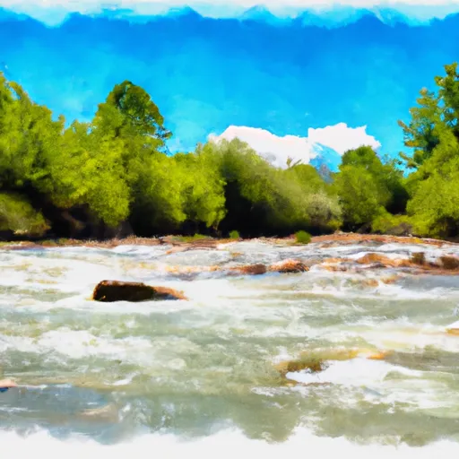
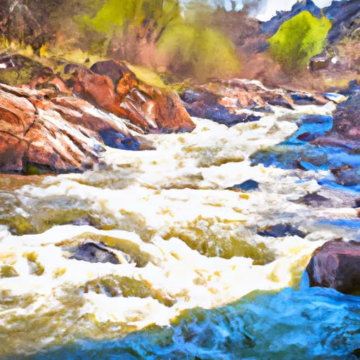
Bankhead (Lower) is a privately owned dam located in San Juan County, Utah, along the Coyote Wash river.
Summary
Built in 1930 for irrigation purposes, this earth dam stands at a height of 13 feet and has a storage capacity of 127 acre-feet. The dam, managed by the Utah Division of Water Rights, is regulated and inspected by the state to ensure safety and compliance with water resource management policies.
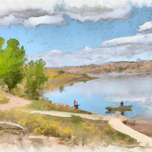
Despite its low hazard potential and current "Not Rated" condition assessment, Bankhead (Lower) undergoes regular inspections every five years to maintain its structural integrity. The dam's emergency action plan status, risk assessment, and management measures are not specified in the data available. The surrounding area of Lasal City benefits from the water stored in this dam, demonstrating the crucial role that Bankhead (Lower) plays in supporting irrigation activities and water resource management in the region.
Regional Streamflow Levels
15-Day Long Term Forecast
Year Completed |
1930 |
Dam Length |
240 |
River Or Stream |
COYOTE WASH |
Primary Dam Type |
Earth |
Hydraulic Height |
13 |
Drainage Area |
9.3 |
Nid Storage |
127 |
Structural Height |
13 |
Hazard Potential |
Low |
Nid Height |
13 |
Seasonal Comparison
5-Day Hourly Forecast Detail
Dam Data Reference
Condition Assessment
SatisfactoryNo existing or potential dam safety deficiencies are recognized. Acceptable performance is expected under all loading conditions (static, hydrologic, seismic) in accordance with the minimum applicable state or federal regulatory criteria or tolerable risk guidelines.
Fair
No existing dam safety deficiencies are recognized for normal operating conditions. Rare or extreme hydrologic and/or seismic events may result in a dam safety deficiency. Risk may be in the range to take further action. Note: Rare or extreme event is defined by the regulatory agency based on their minimum
Poor A dam safety deficiency is recognized for normal operating conditions which may realistically occur. Remedial action is necessary. POOR may also be used when uncertainties exist as to critical analysis parameters which identify a potential dam safety deficiency. Investigations and studies are necessary.
Unsatisfactory
A dam safety deficiency is recognized that requires immediate or emergency remedial action for problem resolution.
Not Rated
The dam has not been inspected, is not under state or federal jurisdiction, or has been inspected but, for whatever reason, has not been rated.
Not Available
Dams for which the condition assessment is restricted to approved government users.
Hazard Potential Classification
HighDams assigned the high hazard potential classification are those where failure or mis-operation will probably cause loss of human life.
Significant
Dams assigned the significant hazard potential classification are those dams where failure or mis-operation results in no probable loss of human life but can cause economic loss, environment damage, disruption of lifeline facilities, or impact other concerns. Significant hazard potential classification dams are often located in predominantly rural or agricultural areas but could be in areas with population and significant infrastructure.
Low
Dams assigned the low hazard potential classification are those where failure or mis-operation results in no probable loss of human life and low economic and/or environmental losses. Losses are principally limited to the owner's property.
Undetermined
Dams for which a downstream hazard potential has not been designated or is not provided.
Not Available
Dams for which the downstream hazard potential is restricted to approved government users.
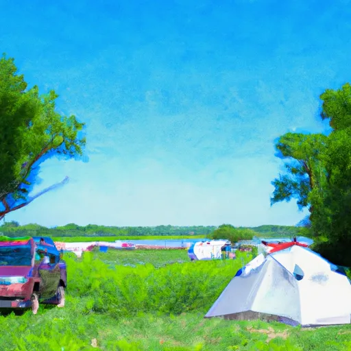
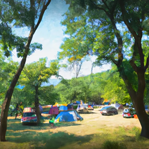
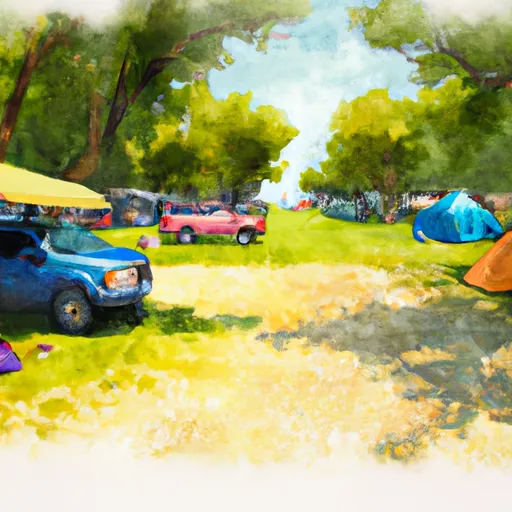
Area Campgrounds
| Location | Reservations | Toilets |
|---|---|---|
 Hitchcock County Nature Center
|
||
 Missouri Valley City Park
|
||
 N. P. Dodge Mem Park
|
||
 Wilson Island State Rec Area
|
||
 Arrowhead Park
|
||
 Friendship City Park
|
 Kens Lake Recreation Site
 Shafer Trail Grand County
 Bedrock
 Mill Creek
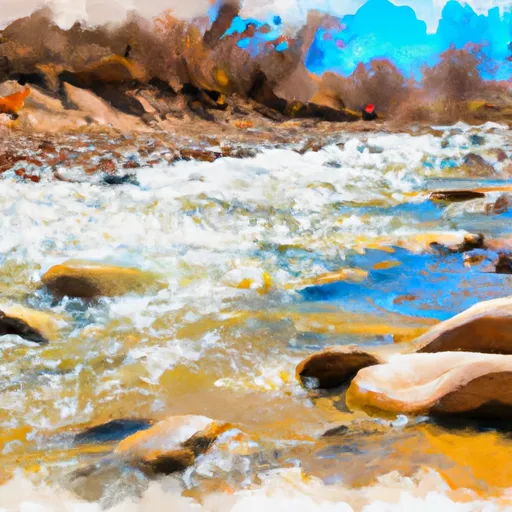 La Sal Creek Segment 1
 Ice Lake Creek Segment 1
 Ice Lake Creek Segment 2
 Lion Creek Segment 1
 Lion Creek Segment 2
 Blue Lake - La Sals
 Clark Lake
 Oowah Lake
 Warner Lake
 Buckeye Reservoir