Summary
It is approximately 20 feet wide, which is wide enough to accommodate most small to medium-sized watercraft. The latitude and longitude coordinates provided in the prompt match the location of the boat ramp.
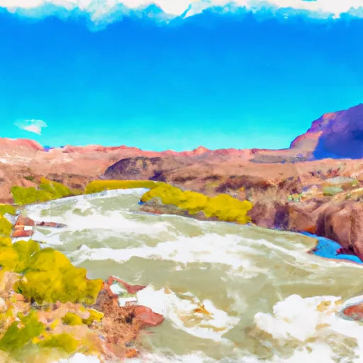
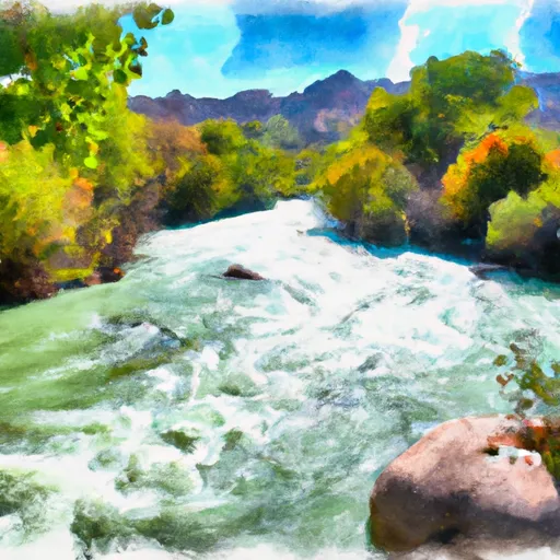
The Colorado River is a popular destination for recreational boating, and the Potash Road boat ramp is no exception. The river is suitable for a variety of watercraft, including motorboats, kayaks, canoes, and rafts. However, it is important to note that the Colorado River can be dangerous at times, particularly during periods of high water or when there are strong currents. Therefore, it is recommended that boaters exercise caution and follow all safety guidelines when using this boat ramp.
In terms of the latest information available, the Bureau of Land Management (BLM) maintains a website with up-to-date information on the Potash Road boat ramp. According to the BLM, the boat ramp is currently open and accessible to the public. However, due to ongoing construction in the area, visitors may experience some delays or detours when accessing the boat ramp. Therefore, it is recommended that boaters check the BLM website or contact the local office for the most current information before planning a trip to this location.
°F
°F
mph
Wind
%
Humidity

 Potash Road Grand County
 Takeout Beach
 Colorado River
 Kane Springs, Colo. River Seg. 4
 Cataract Canyon