


Cookson Pond Dam Reservoir Report
Last Updated: April 26, 2026
°F
°F
mph
Wind
%
Humidity
Cookson Pond Dam, located in Canaan Valley, Massachusetts, is a privately owned earth dam that was completed in 1959 for recreational purposes.
Summary
Managed by the Department of Conservation and Recreation, this dam stands at a height of 24 feet and has a hydraulic height of 17.5 feet, creating a reservoir with a normal storage capacity of 587.13 acre-feet.
The dam's spillway is uncontrolled, and it has a significant hazard potential with a moderate risk assessment rating. While the condition of the dam is currently not rated, it undergoes inspections every five years to ensure its safety and integrity. Despite being earth-filled, the dam is buttressed and has a length of 550 feet, providing a surface area of 67 acres for recreational activities.
Cookson Pond Dam plays a crucial role in providing recreational opportunities in the area, serving as a popular spot for fishing, boating, and wildlife watching. With its idyllic location near the Whiting River tributary and surrounded by the picturesque Berkshire County landscape, this dam is not only a functional structure but also a scenic destination for water resource and climate enthusiasts to enjoy the beauty of nature.
Regional Streamflow Levels
15-Day Long Term Forecast
Year Completed |
1959 |
Dam Length |
550 |
Dam Height |
24 |
River Or Stream |
TRIBUTARY OF WHITING RIVER |
Primary Dam Type |
Earth |
Surface Area |
67 |
Hydraulic Height |
17.5 |
Nid Storage |
805.2 |
Outlet Gates |
Uncontrolled |
Hazard Potential |
Significant |
Foundations |
Unlisted/Unknown |
Nid Height |
24 |
Seasonal Comparison
5-Day Hourly Forecast Detail
Dam Data Reference
Condition Assessment
SatisfactoryNo existing or potential dam safety deficiencies are recognized. Acceptable performance is expected under all loading conditions (static, hydrologic, seismic) in accordance with the minimum applicable state or federal regulatory criteria or tolerable risk guidelines.
Fair
No existing dam safety deficiencies are recognized for normal operating conditions. Rare or extreme hydrologic and/or seismic events may result in a dam safety deficiency. Risk may be in the range to take further action. Note: Rare or extreme event is defined by the regulatory agency based on their minimum
Poor A dam safety deficiency is recognized for normal operating conditions which may realistically occur. Remedial action is necessary. POOR may also be used when uncertainties exist as to critical analysis parameters which identify a potential dam safety deficiency. Investigations and studies are necessary.
Unsatisfactory
A dam safety deficiency is recognized that requires immediate or emergency remedial action for problem resolution.
Not Rated
The dam has not been inspected, is not under state or federal jurisdiction, or has been inspected but, for whatever reason, has not been rated.
Not Available
Dams for which the condition assessment is restricted to approved government users.
Hazard Potential Classification
HighDams assigned the high hazard potential classification are those where failure or mis-operation will probably cause loss of human life.
Significant
Dams assigned the significant hazard potential classification are those dams where failure or mis-operation results in no probable loss of human life but can cause economic loss, environment damage, disruption of lifeline facilities, or impact other concerns. Significant hazard potential classification dams are often located in predominantly rural or agricultural areas but could be in areas with population and significant infrastructure.
Low
Dams assigned the low hazard potential classification are those where failure or mis-operation results in no probable loss of human life and low economic and/or environmental losses. Losses are principally limited to the owner's property.
Undetermined
Dams for which a downstream hazard potential has not been designated or is not provided.
Not Available
Dams for which the downstream hazard potential is restricted to approved government users.
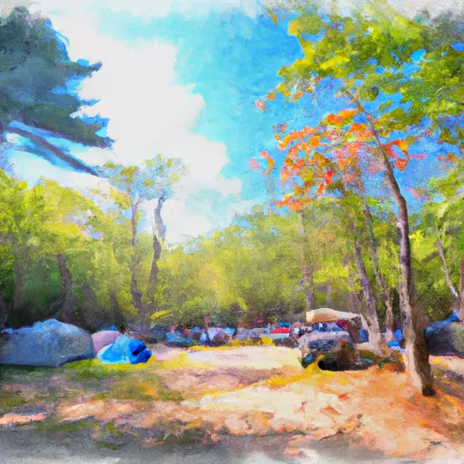
Area Campgrounds
| Location | Reservations | Toilets |
|---|---|---|
 Laurel Ridge Campsite
|
||
 Tolland State Forest
|
||
 Race Brook Campsites
|
||
 Beartown State Forest
|
||
 Belter's Campsites
|
||
 Sage's Ravine Campground
|
 Wood Creek Pond Boat Launch
 The Massachusetts-Connecticut Border To Falls Mountain Road In Canaan, Connecticut
 Falls Mountain Road In Canaan, Connecticut To Kent Bridge