


Whiting River Flood Control Dam Reservoir Report
Last Updated: April 26, 2026
Nearby: Brewster Pond Dam Cookson Pond Dam
°F
°F
mph
Wind
%
Humidity
The Whiting River Flood Control Dam, also known as Blackberry Site #15, is a state-owned structure in North Canaan, Connecticut, designed by the USDA NRCS to mitigate flood risks along the Whiting River.
Summary
Completed in 1968, this earth dam stands at 80 feet tall and spans 580 feet in length, with a storage capacity of 5,000 acre-feet. Its primary purpose is flood risk reduction, serving the community by protecting against potential damage caused by heavy rainfall and rising river levels.
Located in Litchfield County, the Whiting River Flood Control Dam is regulated by the Connecticut Department of Energy and Environmental Protection (DEEP) and receives regular inspections to ensure its structural integrity and operational effectiveness. With a high hazard potential and a moderate risk assessment rating, this dam plays a crucial role in safeguarding the surrounding area from potential flooding events. Despite not being rated for condition assessment, the dam remains a key asset in the state's water resource management infrastructure, providing essential flood protection measures for the community.
As a vital component of flood control measures in the region, the Whiting River Flood Control Dam serves as a critical structure in reducing flood risks and protecting the environment and residents of North Canaan. With its uncontrolled spillway and earth dam design, this dam stands as a testament to the collaborative efforts between state and federal agencies, highlighting the importance of proactive water resource management in mitigating natural disasters and ensuring the safety and well-being of the local population.
Regional Streamflow Levels

15-Day Long Term Forecast
Year Completed |
1968 |
Dam Length |
580 |
Dam Height |
80 |
River Or Stream |
WHITING RIVER |
Primary Dam Type |
Earth |
Surface Area |
5 |
Drainage Area |
14.14 |
Nid Storage |
5000 |
Outlet Gates |
Uncontrolled |
Hazard Potential |
High |
Foundations |
Rock, Soil |
Nid Height |
80 |
Seasonal Comparison
5-Day Hourly Forecast Detail
Dam Data Reference
Condition Assessment
SatisfactoryNo existing or potential dam safety deficiencies are recognized. Acceptable performance is expected under all loading conditions (static, hydrologic, seismic) in accordance with the minimum applicable state or federal regulatory criteria or tolerable risk guidelines.
Fair
No existing dam safety deficiencies are recognized for normal operating conditions. Rare or extreme hydrologic and/or seismic events may result in a dam safety deficiency. Risk may be in the range to take further action. Note: Rare or extreme event is defined by the regulatory agency based on their minimum
Poor A dam safety deficiency is recognized for normal operating conditions which may realistically occur. Remedial action is necessary. POOR may also be used when uncertainties exist as to critical analysis parameters which identify a potential dam safety deficiency. Investigations and studies are necessary.
Unsatisfactory
A dam safety deficiency is recognized that requires immediate or emergency remedial action for problem resolution.
Not Rated
The dam has not been inspected, is not under state or federal jurisdiction, or has been inspected but, for whatever reason, has not been rated.
Not Available
Dams for which the condition assessment is restricted to approved government users.
Hazard Potential Classification
HighDams assigned the high hazard potential classification are those where failure or mis-operation will probably cause loss of human life.
Significant
Dams assigned the significant hazard potential classification are those dams where failure or mis-operation results in no probable loss of human life but can cause economic loss, environment damage, disruption of lifeline facilities, or impact other concerns. Significant hazard potential classification dams are often located in predominantly rural or agricultural areas but could be in areas with population and significant infrastructure.
Low
Dams assigned the low hazard potential classification are those where failure or mis-operation results in no probable loss of human life and low economic and/or environmental losses. Losses are principally limited to the owner's property.
Undetermined
Dams for which a downstream hazard potential has not been designated or is not provided.
Not Available
Dams for which the downstream hazard potential is restricted to approved government users.
Area Campgrounds
| Location | Reservations | Toilets |
|---|---|---|
 Laurel Ridge Campsite
|
||
 Belter's Campsites
|
||
 Race Brook Campsites
|
||
 Sage's Ravine Campground
|
||
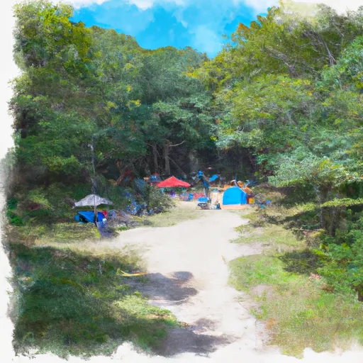 Ball Brook Group Camping Area
|
||
 Beartown State Forest
|
 Wood Creek Pond Boat Launch
 The Massachusetts-Connecticut Border To Falls Mountain Road In Canaan, Connecticut
 Falls Mountain Road In Canaan, Connecticut To Kent Bridge