


Brewster Pond Dam Reservoir Report
Last Updated: April 26, 2026
°F
°F
mph
Wind
%
Humidity
Located in Lebanon, Connecticut, Brewster Pond Dam is a significant water resource structure primarily designated for recreational purposes.
Summary
Built in 1854, this earthen dam stands at 13 feet tall and stretches 480 feet in length, creating a surface area of 66.2 acres and a storage capacity of 331 acre-feet. Situated on Bartlett Brook, this dam is under state regulation by the Department of Energy and Environmental Protection (DEEP), with the State of Connecticut overseeing its permitting, inspection, and enforcement.
Despite its low hazard potential, Brewster Pond Dam plays a crucial role in providing recreational opportunities for the local community. The dam has not been rated for its condition, but an Emergency Action Plan (EAP) was last revised in December 2017 to ensure proper preparedness and response in case of any unforeseen events. With a spillway width of 22 feet and a maximum discharge capacity of 480 cubic feet per second, this dam serves as a key water resource structure in Litchfield County, Connecticut.
Water resource and climate enthusiasts interested in the intricacies of dam infrastructure will find Brewster Pond Dam a fascinating example of historical engineering and the intersection of human development with natural waterways. Its location, design, and purpose provide valuable insights into how water resources are managed and utilized for recreational and environmental conservation purposes in the state of Connecticut.
Regional Streamflow Levels
15-Day Long Term Forecast
Year Completed |
1854 |
Dam Length |
480 |
Dam Height |
13 |
River Or Stream |
BARTLETT BROOK |
Primary Dam Type |
Earth |
Surface Area |
66.2 |
Drainage Area |
4.1 |
Nid Storage |
331 |
Hazard Potential |
Low |
Nid Height |
13 |
Seasonal Comparison
5-Day Hourly Forecast Detail
Dam Data Reference
Condition Assessment
SatisfactoryNo existing or potential dam safety deficiencies are recognized. Acceptable performance is expected under all loading conditions (static, hydrologic, seismic) in accordance with the minimum applicable state or federal regulatory criteria or tolerable risk guidelines.
Fair
No existing dam safety deficiencies are recognized for normal operating conditions. Rare or extreme hydrologic and/or seismic events may result in a dam safety deficiency. Risk may be in the range to take further action. Note: Rare or extreme event is defined by the regulatory agency based on their minimum
Poor A dam safety deficiency is recognized for normal operating conditions which may realistically occur. Remedial action is necessary. POOR may also be used when uncertainties exist as to critical analysis parameters which identify a potential dam safety deficiency. Investigations and studies are necessary.
Unsatisfactory
A dam safety deficiency is recognized that requires immediate or emergency remedial action for problem resolution.
Not Rated
The dam has not been inspected, is not under state or federal jurisdiction, or has been inspected but, for whatever reason, has not been rated.
Not Available
Dams for which the condition assessment is restricted to approved government users.
Hazard Potential Classification
HighDams assigned the high hazard potential classification are those where failure or mis-operation will probably cause loss of human life.
Significant
Dams assigned the significant hazard potential classification are those dams where failure or mis-operation results in no probable loss of human life but can cause economic loss, environment damage, disruption of lifeline facilities, or impact other concerns. Significant hazard potential classification dams are often located in predominantly rural or agricultural areas but could be in areas with population and significant infrastructure.
Low
Dams assigned the low hazard potential classification are those where failure or mis-operation results in no probable loss of human life and low economic and/or environmental losses. Losses are principally limited to the owner's property.
Undetermined
Dams for which a downstream hazard potential has not been designated or is not provided.
Not Available
Dams for which the downstream hazard potential is restricted to approved government users.
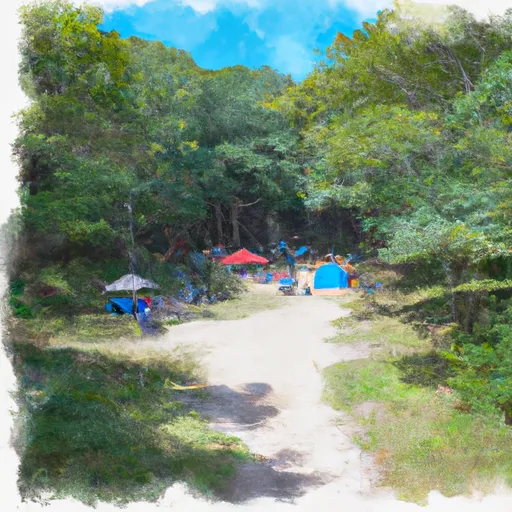
Area Campgrounds
| Location | Reservations | Toilets |
|---|---|---|
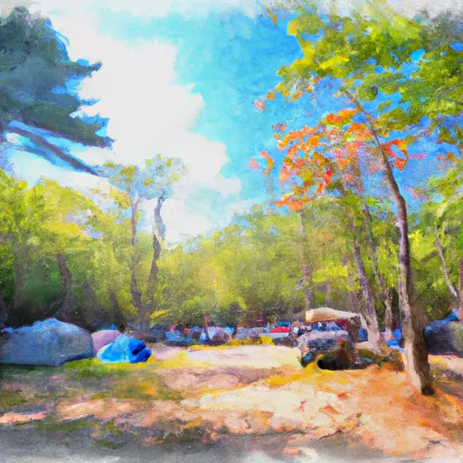 Laurel Ridge Campsite
|
||
 Belter's Campsites
|
||
 Race Brook Campsites
|
||
 Sage's Ravine Campground
|
||
 Ball Brook Group Camping Area
|
||
 Beartown State Forest
|
 Wood Creek Pond Boat Launch
 The Massachusetts-Connecticut Border To Falls Mountain Road In Canaan, Connecticut
 Falls Mountain Road In Canaan, Connecticut To Kent Bridge