
Eastlake Reservoir Report
Nearby: Bonita Long Canyon Upper Otay
Last Updated: December 22, 2025
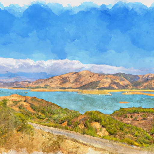
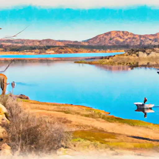
Eastlake is a privately owned dam located in Bonita, California, specifically in San Diego County.
°F
°F
mph
Wind
%
Humidity
Summary
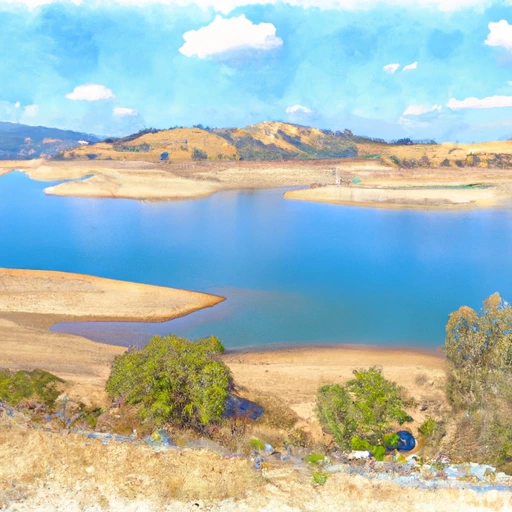
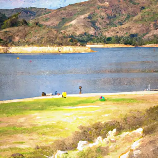
Built in 1986, this earth dam stands at a height of 35 feet and has a capacity of 77 acre-feet, primarily serving as a water supply source for the area. The dam also offers recreational opportunities and is situated on Proctor Val Can stream, contributing to the local ecosystem.
Managed by the California Department of Water Resources and regulated by the Safety of Dams agency, Eastlake is subject to regular inspections to ensure its safety and functionality. Despite its high hazard potential, the dam has been assessed as satisfactory in condition, with the latest inspection conducted in March 2021. With a history of compliance and maintenance, Eastlake serves as a vital water infrastructure component for the region, providing both essential resources and recreational enjoyment for the community.
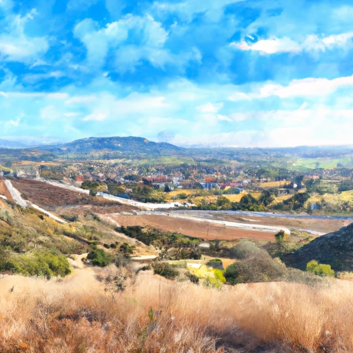
As a key feature in the water resource landscape of Southern California, Eastlake plays a crucial role in water supply management and recreational activities. With its strategic location along Proctor Val Can stream and its high hazard potential, the dam requires vigilant oversight and adherence to regulatory standards. Through ongoing inspections and maintenance efforts, Eastlake continues to fulfill its primary purpose of water supply while also offering a source of leisure and enjoyment for residents and visitors in the area.
Year Completed |
1986 |
Dam Length |
900 |
Dam Height |
35 |
River Or Stream |
Proctor Val Can |
Primary Dam Type |
Earth |
Surface Area |
11 |
Hydraulic Height |
31.2 |
Nid Storage |
77 |
Hazard Potential |
High |
Nid Height |
35 |
Seasonal Comparison
Weather Forecast
Nearby Streamflow Levels
Dam Data Reference
Condition Assessment
SatisfactoryNo existing or potential dam safety deficiencies are recognized. Acceptable performance is expected under all loading conditions (static, hydrologic, seismic) in accordance with the minimum applicable state or federal regulatory criteria or tolerable risk guidelines.
Fair
No existing dam safety deficiencies are recognized for normal operating conditions. Rare or extreme hydrologic and/or seismic events may result in a dam safety deficiency. Risk may be in the range to take further action. Note: Rare or extreme event is defined by the regulatory agency based on their minimum
Poor A dam safety deficiency is recognized for normal operating conditions which may realistically occur. Remedial action is necessary. POOR may also be used when uncertainties exist as to critical analysis parameters which identify a potential dam safety deficiency. Investigations and studies are necessary.
Unsatisfactory
A dam safety deficiency is recognized that requires immediate or emergency remedial action for problem resolution.
Not Rated
The dam has not been inspected, is not under state or federal jurisdiction, or has been inspected but, for whatever reason, has not been rated.
Not Available
Dams for which the condition assessment is restricted to approved government users.
Hazard Potential Classification
HighDams assigned the high hazard potential classification are those where failure or mis-operation will probably cause loss of human life.
Significant
Dams assigned the significant hazard potential classification are those dams where failure or mis-operation results in no probable loss of human life but can cause economic loss, environment damage, disruption of lifeline facilities, or impact other concerns. Significant hazard potential classification dams are often located in predominantly rural or agricultural areas but could be in areas with population and significant infrastructure.
Low
Dams assigned the low hazard potential classification are those where failure or mis-operation results in no probable loss of human life and low economic and/or environmental losses. Losses are principally limited to the owner's property.
Undetermined
Dams for which a downstream hazard potential has not been designated or is not provided.
Not Available
Dams for which the downstream hazard potential is restricted to approved government users.
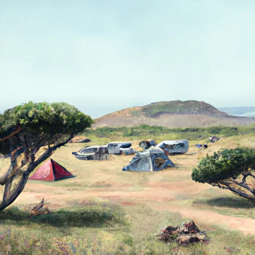
 Sweetwater Summit
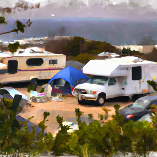
 TT Pio Pico RV resort
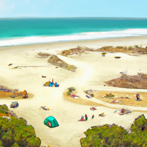 Silver Strand State Beach Dispersed
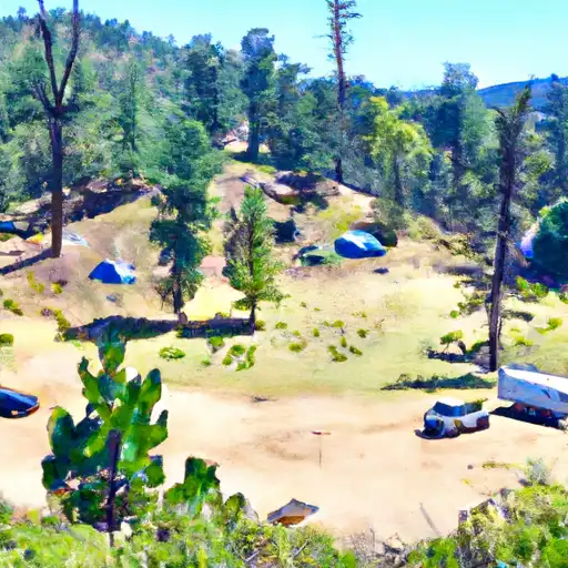
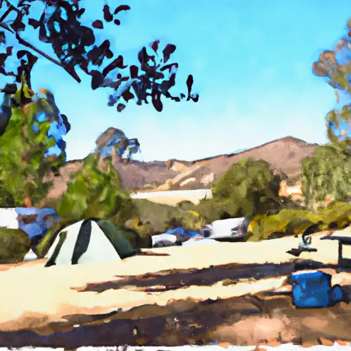 Kumeyaay Lake Campground - Mission Trails Park
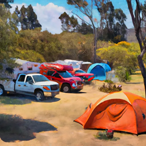
 Fiddlers Cove RV Military - Coronado NB
 Admiral Baker Military - San Diego NS
 Eastlake
 Sweetwater Reservoir
 Lo Otay Lake Nr Chula Vista Ca
 Lower Otay
 Murray Res
 Lower Otay Reservoir
 Chollas Reservoir
 Murray Reservoir