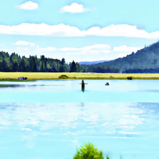
Bull Lake, located in Fremont, Wyoming, is a federally owned reservoir managed by the Bureau of Reclamation for flood risk reduction. Built in 1937, this earth dam stands at a height of 80 feet and has a storage capacity of 163,976 acre-feet, making it a crucial water resource for the region. The reservoir covers a surface area of 3,157 acres and is fed by Bull Lake Creek, with a maximum discharge capacity of 16,550 cubic feet per second.
The dam underwent modifications in 2003 to enhance its mechanical and structural integrity, ensuring its continued effectiveness in flood risk management. With a high hazard potential and very high risk assessment rating, Bull Lake is closely monitored and inspected by the Bureau of Reclamation to maintain its safety and functionality. The reservoir serves multiple purposes, including fish and wildlife habitat, irrigation, and recreation, making it a valuable asset for the local community and ecosystem.
Despite its high hazard potential, Bull Lake remains a vital water resource in Wyoming, providing essential flood protection and supporting various recreational and environmental activities. Managed by the Bureau of Reclamation, this historic earth dam continues to play a crucial role in water management and conservation efforts in the region. With its scenic location and diverse uses, Bull Lake stands as a testament to the importance of sustainable water resource management in the face of changing climate patterns.
PEABODY RIDGE VIEWPOINT
The Peabody Ridge Viewpoint is a popular tourist destination in the Little Wind watershed of Wyoming. It is located on the eastern edge of the Wind River Range and offers ...
MINER'S DELIGHT
Miner's Delight is a historic mining town located in the Little Wind watershed of Wyoming. It was established in the late 1800s and was once a bustling community with around ...
WHISKEY MOUNTAIN WILDLIFE VIEWING AREA
The Whiskey Mountain Wildlife Viewing Area is located in the Upper Wind watershed of Wyoming and covers an area of 14,500 acres. It is a popular destination for wildlife enthusiasts ...
BUCKSKIN CROSSING
Buckskin Crossing is a unique destination located in the Big Sandy watershed of Wyoming. The area boasts stunning views of the Wind River Range and offers a range of activities ...
SHOSHONE LAKE ROAD
The Shoshone Lake Road is a scenic drive located in the Popo Agie watershed of Wyoming. This 16-mile dirt road is known for its breathtaking views and unique geological features. ...