Blankenship Pond Dam Dam

Blankenship Pond Dam
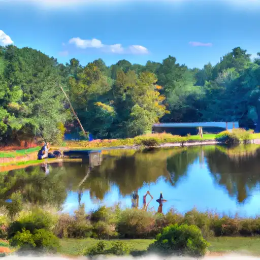
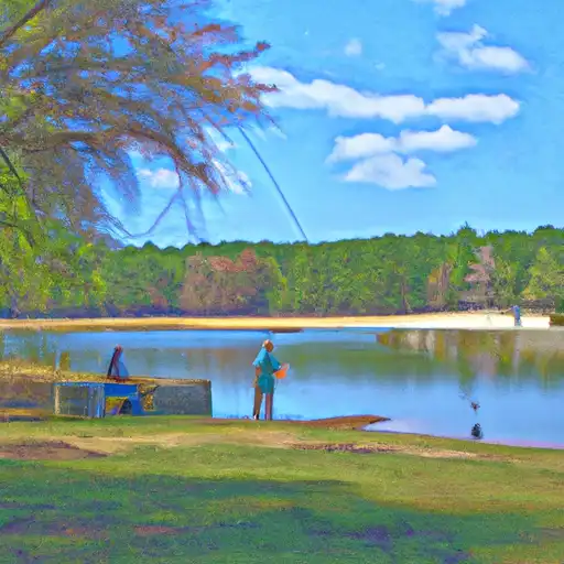
Blankenship Pond Dam, located in Glascock, Georgia, stands as a testament to both history and recreation. Built in 1860, this private earth dam impressively spans 250 feet in length and reaches a height of 12.5 feet, serving primarily for recreational purposes. The dam's design, classified as a buttress earth type, overlooks Deep Creek and offers a serene retreat in the Bethel Church environs for water resource and climate enthusiasts alike.
Despite its age, Blankenship Pond Dam maintains a low hazard potential and is considered to be in moderate condition. While the dam has not been inspected since 2010, its structural integrity remains sound, with a controlled spillway and uncontrolled outlet gates. Additionally, with a normal storage capacity of 100 acre-feet and a maximum discharge rate of 79.8 cubic feet per second, the dam continues to serve as a reliable feature for local residents and visitors seeking outdoor recreational opportunities.
Blankenship Pond Dam's historical relevance and recreational appeal make it a noteworthy site for those interested in water resource management and climate-related activities. As a privately owned structure with state jurisdiction, the dam stands as a testament to the harmonious coexistence of human engineering and natural beauty, offering a safe and enjoyable environment for all who appreciate the importance of preserving our water resources in the face of climate challenges.
Plan around the weather
Same NOAA / yr.no feed Snoflo's iOS app uses. Watch the precipitation column on the meteogram -- rain on the basin upstream typically lifts inflow 24-72 hours later.
Next 5 days, hour by hour
Temperature line with weather symbols on top, snow + rain accumulation as columns, humidity as a dotted line.
5-day forecast table
Every 3 hours, broken out across temperature, snow, rain, humidity, and wind. Each cell is colour-coded relative to the column min/max.
| Time | Condition | Temp (°F) | Snow (in) | Rain (in) | Humidity (%) | Wind (mps) | Wind dir |
|---|---|---|---|---|---|---|---|
| Loading detailed forecast… | |||||||
15-day temperature & precipitation
Daily temperatures, snow, and rain projected over the next two weeks.
Nearby streamflow gauges
USGS streamgauges around Blankenship Pond Dam -- inflows here typically show up in storage 24-72 hours later.
| Streamgauge | Discharge | View |
|---|---|---|
| Williamson Swamp Creek At Davisboro | 41 cfs | → |
| Spirit Creek At Us 1 | 7 cfs | → |
| Little River Near Washington | 11 cfs | → |
| Butler Creek Below 7th Avenue | 6 cfs | → |
| Kettle Creek Near Washington | 1 cfs | → |
| Buffalo Creek At Ga 272 | 27 cfs | → |


About Blankenship Pond Dam
Where does the data for Blankenship Pond Dam come from?
Structural and regulatory data come from the U.S. Army Corps of Engineers' National Inventory of Dams (NID). Weather forecast comes from NOAA / yr.no -- the same feed Snoflo's iOS app uses.
How often is the report updated?
NID structural data refreshes annually as the Corps publishes updated assessments. The weather forecast refreshes throughout the day.
What does the Low hazard rating mean?
The Corps of Engineers' hazard potential classification grades probable consequences if the dam fails: High = probable loss of human life; Significant = no probable loss of human life but possible economic loss / environmental damage; Low = no probable loss of human life, only minor economic / environmental losses. See the Dam Data Reference card below for the full definitions.
What's "% of normal"?
The current storage value compared to the historical average storage on this calendar day. 100% = right on average; values above 100% mean above-normal storage (wet year); values below mean below-normal (dry year or drought).
Can I get alerts when storage crosses a threshold?
Yes -- alerts are managed in the Snoflo iOS app. Favorite this dam, set a threshold, and you'll get a push the moment conditions cross.
Dam data reference
Condition Assessment
- Satisfactory
- No existing or potential dam safety deficiencies are recognized. Acceptable performance is expected under all loading conditions (static, hydrologic, seismic) in accordance with the minimum applicable state or federal regulatory criteria or tolerable risk guidelines.
- Fair
- No existing dam safety deficiencies are recognized for normal operating conditions. Rare or extreme hydrologic and/or seismic events may result in a dam safety deficiency. Risk may be in the range to take further action.
- Poor
- A dam safety deficiency is recognized for normal operating conditions which may realistically occur. Remedial action is necessary. POOR may also be used when uncertainties exist as to critical analysis parameters which identify a potential dam safety deficiency.
- Unsatisfactory
- A dam safety deficiency is recognized that requires immediate or emergency remedial action for problem resolution.
- Not Rated
- The dam has not been inspected, is not under state or federal jurisdiction, or has been inspected but, for whatever reason, has not been rated.
Hazard Potential Classification
- High
- Dams assigned the high hazard potential classification are those where failure or mis-operation will probably cause loss of human life.
- Significant
- Dams assigned the significant hazard potential classification are those dams where failure or mis-operation results in no probable loss of human life but can cause economic loss, environmental damage, disruption of lifeline facilities, or impact other concerns. Significant hazard potential classification dams are often located in predominantly rural or agricultural areas but could be in areas with population and significant infrastructure.
- Low
- Dams assigned the low hazard potential classification are those where failure or mis-operation results in no probable loss of human life and low economic and/or environmental losses. Losses are principally limited to the owner's property.
- Undetermined
- Dams for which a downstream hazard potential has not been designated or is not provided.