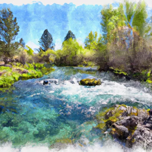
Henrys Lake Nr Lake Id reservoir
As of July 16, 2026, Henrys Lake Nr Lake Id is holding 16 ft of water — 96% of normal storage for this date. Storage data refreshed throughout the day.

Henrys Lake Nr Lake Id
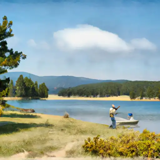
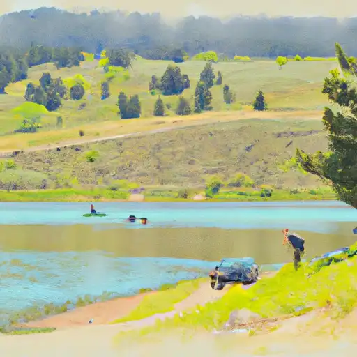
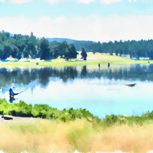
Henry's Lake is a natural lake located in Idaho, USA. The lake has a long history, first known to be inhabited by Native Americans. Today, it is a popular destination for recreational activities such as fishing, boating, and camping. The lake is fed by several small streams, including Targhee Creek, Howard Creek, and Henrys Fork, and its outflow is Henrys Fork. The lake is also part of the Henrys Fork Watershed, which provides water for agriculture and industry in the region. Snowpack in the surrounding mountains is a significant source of water for the lake, and it also receives some surface flow from nearby creeks. The lake is known for its healthy populations of trout, including Yellowstone cutthroat, rainbow, and brook trout.
Daily levels at Henrys Lake Nr Lake Id
Storage volume, pool elevation, and total release plotted from the operating agency's daily observations.
Reservoir storage, acre-ft
ac-ft · code 00054
Gage height, ft
ft · code 00065
Plan around the weather
Same NOAA / yr.no feed Snoflo's iOS app uses. Watch the precipitation column on the meteogram -- rain on the basin upstream typically lifts inflow 24-72 hours later.
Next 5 days, hour by hour
Temperature line with weather symbols on top, snow + rain accumulation as columns, humidity as a dotted line.
5-day forecast table
Every 3 hours, broken out across temperature, snow, rain, humidity, and wind. Each cell is colour-coded relative to the column min/max.
| Time | Condition | Temp (°F) | Snow (in) | Rain (in) | Humidity (%) | Wind (mps) | Wind dir |
|---|---|---|---|---|---|---|---|
| Loading detailed forecast… | |||||||
15-day temperature & precipitation
Daily temperatures, snow, and rain projected over the next two weeks.
Nearby streamflow gauges
USGS streamgauges around Henrys Lake Nr Lake Id -- inflows here typically show up in storage 24-72 hours later.
| Streamgauge | Discharge | View |
|---|---|---|
| Henrys Fork Nr Lake Id | 200 cfs | → |
| Henrys Fork Blw Coffee Pot Rapids Nr Macks Inn Id | 372 cfs | → |
| Big Springs At Big Springs Id | 128 cfs | → |
| Henrys Fork Nr Island Park Id | 1,590 cfs | → |
| Madison River Near West Yellowstone Mt | 315 cfs | → |
| Red Rock Cr Ab Lakes Nr Lakeview Mt | 35 cfs | → |


About Henrys Lake Nr Lake Id
Where does the data for Henrys Lake Nr Lake Id come from?
Daily storage, pool elevation, and release rates are sourced from USGS, USBR, and USACE monitoring stations. Weather forecast comes from NOAA / yr.no -- the same feed Snoflo's iOS app uses.
How often is the report updated?
Storage observations are updated daily by the operating agency. The 15-day weather forecast refreshes throughout the day. Snoflo caches and renders the most recent observation -- check the "as of" timestamp on the storage card.
What does the Hazard hazard rating mean?
The Corps of Engineers' hazard potential classification grades probable consequences if the dam fails: High = probable loss of human life; Significant = no probable loss of human life but possible economic loss / environmental damage; Low = no probable loss of human life, only minor economic / environmental losses. See the Dam Data Reference card below for the full definitions.
What's "% of normal"?
The current storage value compared to the historical average storage on this calendar day. 100% = right on average; values above 100% mean above-normal storage (wet year); values below mean below-normal (dry year or drought).
Can I get alerts when storage crosses a threshold?
Yes -- alerts are managed in the Snoflo iOS app. Favorite this reservoir, set a threshold, and you'll get a push the moment conditions cross.