Summary
The ideal streamflow range for this stretch of river is between 800-2000 cfs, with higher flows creating more challenging rapids. The segment covers 18 miles and is rated as Class III-IV, with several challenging rapids along the way. The most notable rapids on this stretch include The Ledge, Powerhouse, and Haunted House. These rapids are technical and require precise maneuvers to navigate successfully.
It is important to note that this section of the Whitewater River is only open for rafting during the spring and early summer months, typically from April to June. Additionally, all rafters must obtain a permit to access the river. There are also specific regulations regarding group size and gear requirements. All rafters are required to wear a personal flotation device (PFD) at all times while on the river.
Overall, the Buffalo River Springs to Confluence With Elk Creek segment of the Whitewater River is a challenging and exciting adventure for experienced whitewater enthusiasts. It is important to be well-prepared and to follow all regulations and safety guidelines to ensure a successful and enjoyable trip.
°F
°F
mph
Wind
%
Humidity
15-Day Weather Outlook
River Run Details
| Last Updated | 2026-02-07 |
| River Levels | 718 cfs (3.34 ft) |
| Percent of Normal | 51% |
| Status | |
| Class Level | iii-iv |
| Elevation | ft |
| Streamflow Discharge | cfs |
| Gauge Height | ft |
| Reporting Streamgage | USGS 13042500 |
5-Day Hourly Forecast Detail
Nearby Streamflow Levels
Area Campgrounds
| Location | Reservations | Toilets |
|---|---|---|
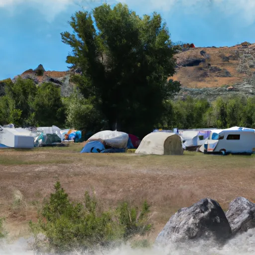 Buffalo Campground
|
||
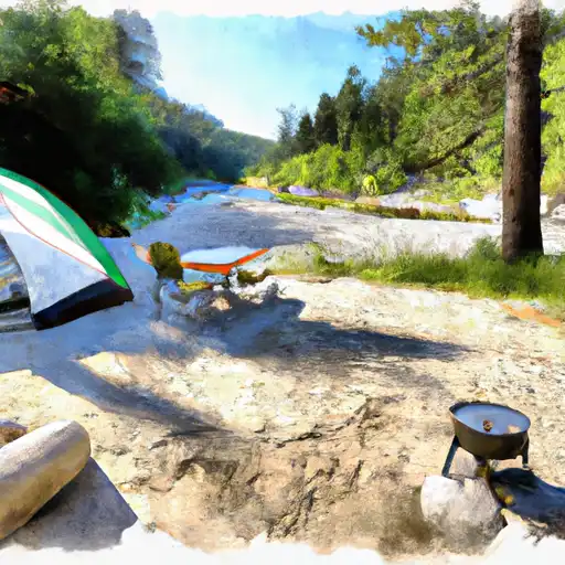 McCrea Bridge
|
||
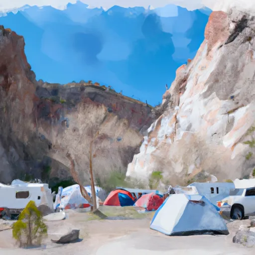 Box Canyon Campground
|
||
 McCrea Bridge Campground
|
||
 Upper Coffee Pot
|
||
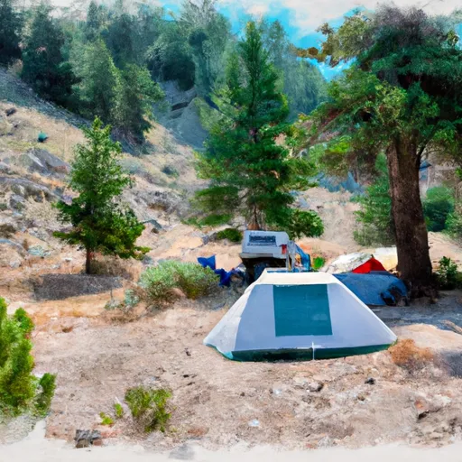 Upper Coffeepot Campground
|


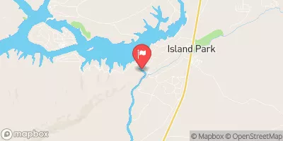
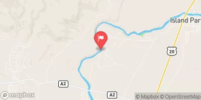
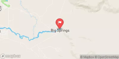
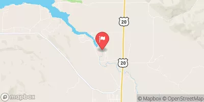
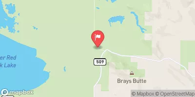
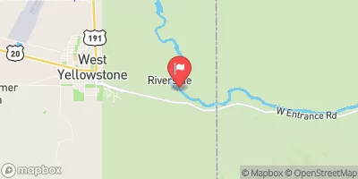
 Forest Road 413 Fremont County
 Buffalo River Springs To Confluence With Elk Creek
 Elk Creek To Slackwater Of Ponds Power Dam
 Box Canyon
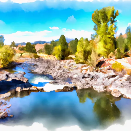 Coffee Pot Campground To Mccrea'S Bridge
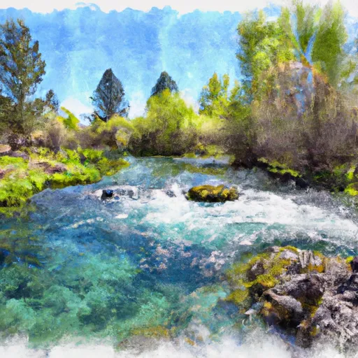 Big Springs To Coffee Pot Campground
 Coffee Pot