Henrys Fork Ranch Dam

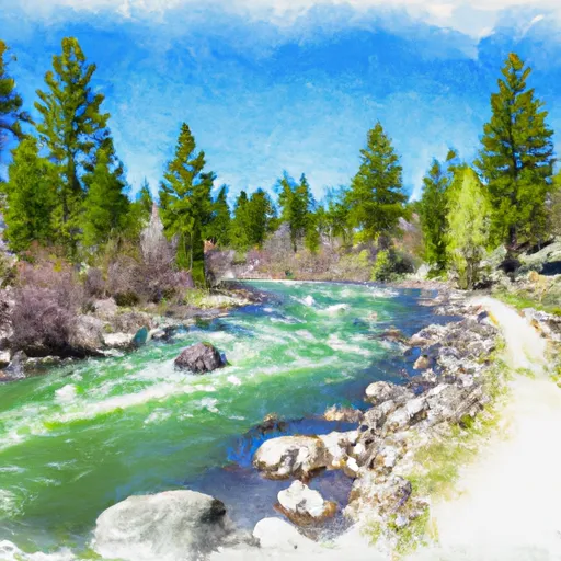
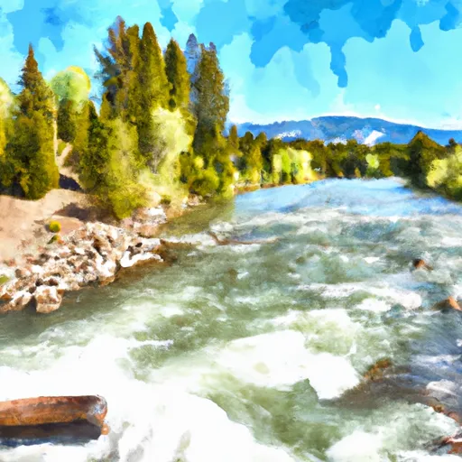
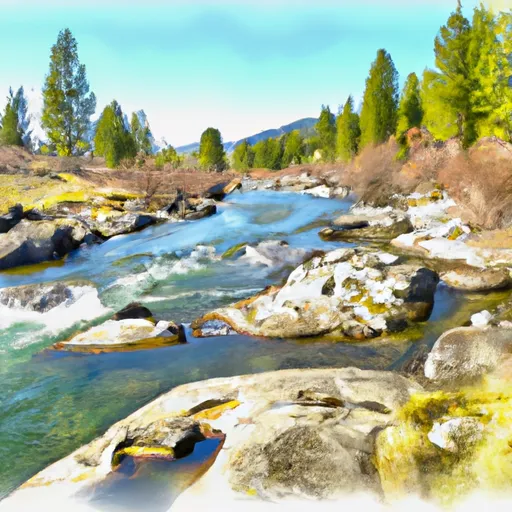
Henrys Fork Ranch
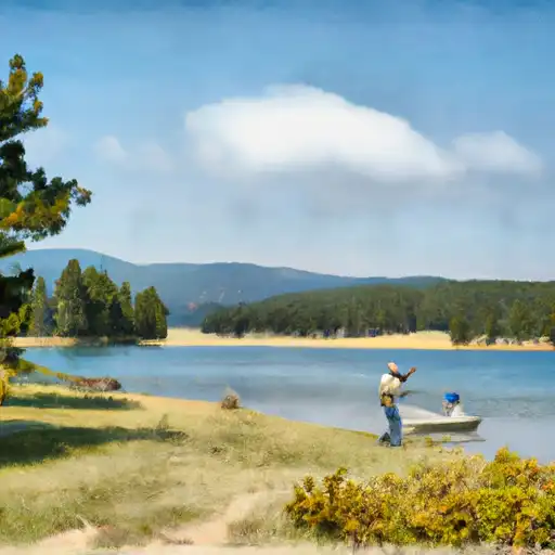
Located in the picturesque Fremont County, Idaho, Henrys Fork Ranch stands as a private oasis along the renowned SPRING HENRYS FORK river. This stunning recreational haven offers a tranquil escape for water resource and climate enthusiasts, boasting a pristine surface area of 14 acres and a drainage area of 3.9 acres. The ranch features an earth dam with a height of 23.3 feet and a controlled spillway width of 20 feet, providing a safe and enjoyable environment for outdoor activities.
Constructed in 1987, Henrys Fork Ranch has since become a beloved destination for nature lovers seeking solace in its peaceful surroundings. With a normal storage capacity of 109 acre-feet and a maximum discharge of 140 cubic feet per second, the ranch offers ample opportunities for water-based recreation. Despite a low hazard potential, the dam's fair condition assessment and very high risk assessment (rated 1 out of 10) underscore the importance of ongoing maintenance and monitoring to ensure the safety and longevity of this cherished retreat.
In the care of the Idaho Department of Water Resources, Henrys Fork Ranch remains a shining example of responsible stewardship and sustainable management. As visitors bask in the beauty of its natural surroundings and engage in recreational pursuits, the ranch continues to serve as a beacon of harmony between human enjoyment and environmental preservation in the heart of Idaho's enchanting landscape.
Plan around the weather
Same NOAA / yr.no feed Snoflo's iOS app uses. Watch the precipitation column on the meteogram -- rain on the basin upstream typically lifts inflow 24-72 hours later.
Next 5 days, hour by hour
Temperature line with weather symbols on top, snow + rain accumulation as columns, humidity as a dotted line.
5-day forecast table
Every 3 hours, broken out across temperature, snow, rain, humidity, and wind. Each cell is colour-coded relative to the column min/max.
| Time | Condition | Temp (°F) | Snow (in) | Rain (in) | Humidity (%) | Wind (mps) | Wind dir |
|---|---|---|---|---|---|---|---|
| Loading detailed forecast… | |||||||
15-day temperature & precipitation
Daily temperatures, snow, and rain projected over the next two weeks.
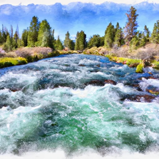
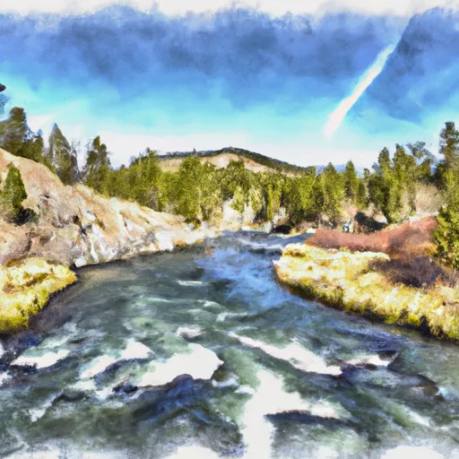
Nearby streamflow gauges
USGS streamgauges around Henrys Fork Ranch -- inflows here typically show up in storage 24-72 hours later.
| Streamgauge | Discharge | View |
|---|---|---|
| Henrys Fork Nr Ashton Id | 2,070 cfs | → |
| Falls River Nr Ashton Id | 519 cfs | → |
| Falls River Nr Chester Id | 334 cfs | → |
| Falls River Nr Squirrel Id | 226 cfs | → |
| Falls River Ab Yellowstone Canal Nr Squirrel Id | 673 cfs | → |
| Henrys Fork At St Anthony Id | 1,270 cfs | → |
Make a day of it
Boat launches, lakeside camping, fishing access, and other reservoirs near Henrys Fork Ranch.
Boat launches
See all →


Campgrounds
See all →


Fishing spots
See all →


River runs
See all →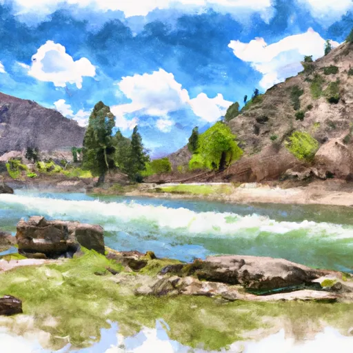
More reservoirs
See all →

About Henrys Fork Ranch
Where does the data for Henrys Fork Ranch come from?
Structural and regulatory data come from the U.S. Army Corps of Engineers' National Inventory of Dams (NID). Weather forecast comes from NOAA / yr.no -- the same feed Snoflo's iOS app uses.
How often is the report updated?
NID structural data refreshes annually as the Corps publishes updated assessments. The weather forecast refreshes throughout the day.
What does the Low hazard rating mean?
The Corps of Engineers' hazard potential classification grades probable consequences if the dam fails: High = probable loss of human life; Significant = no probable loss of human life but possible economic loss / environmental damage; Low = no probable loss of human life, only minor economic / environmental losses. See the Dam Data Reference card below for the full definitions.
What's "% of normal"?
The current storage value compared to the historical average storage on this calendar day. 100% = right on average; values above 100% mean above-normal storage (wet year); values below mean below-normal (dry year or drought).
Can I get alerts when storage crosses a threshold?
Yes -- alerts are managed in the Snoflo iOS app. Favorite this dam, set a threshold, and you'll get a push the moment conditions cross.
Dam data reference
Condition Assessment
- Satisfactory
- No existing or potential dam safety deficiencies are recognized. Acceptable performance is expected under all loading conditions (static, hydrologic, seismic) in accordance with the minimum applicable state or federal regulatory criteria or tolerable risk guidelines.
- Fair
- No existing dam safety deficiencies are recognized for normal operating conditions. Rare or extreme hydrologic and/or seismic events may result in a dam safety deficiency. Risk may be in the range to take further action.
- Poor
- A dam safety deficiency is recognized for normal operating conditions which may realistically occur. Remedial action is necessary. POOR may also be used when uncertainties exist as to critical analysis parameters which identify a potential dam safety deficiency.
- Unsatisfactory
- A dam safety deficiency is recognized that requires immediate or emergency remedial action for problem resolution.
- Not Rated
- The dam has not been inspected, is not under state or federal jurisdiction, or has been inspected but, for whatever reason, has not been rated.
Hazard Potential Classification
- High
- Dams assigned the high hazard potential classification are those where failure or mis-operation will probably cause loss of human life.
- Significant
- Dams assigned the significant hazard potential classification are those dams where failure or mis-operation results in no probable loss of human life but can cause economic loss, environmental damage, disruption of lifeline facilities, or impact other concerns. Significant hazard potential classification dams are often located in predominantly rural or agricultural areas but could be in areas with population and significant infrastructure.
- Low
- Dams assigned the low hazard potential classification are those where failure or mis-operation results in no probable loss of human life and low economic and/or environmental losses. Losses are principally limited to the owner's property.
- Undetermined
- Dams for which a downstream hazard potential has not been designated or is not provided.