


Macdonald Pond Dam Reservoir Report
Last Updated: April 26, 2026
Nearby: Widgeon Pond Dam Culver Springs Dam
°F
°F
mph
Wind
%
Humidity
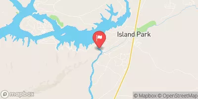
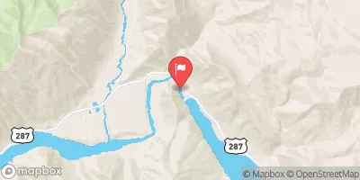
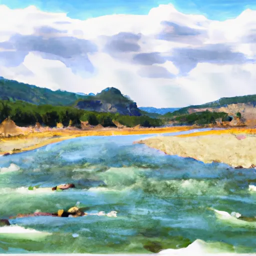
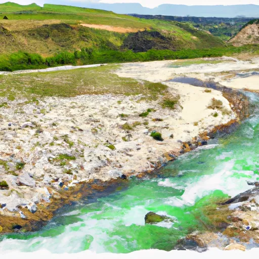
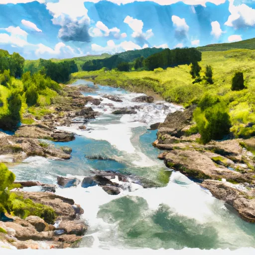
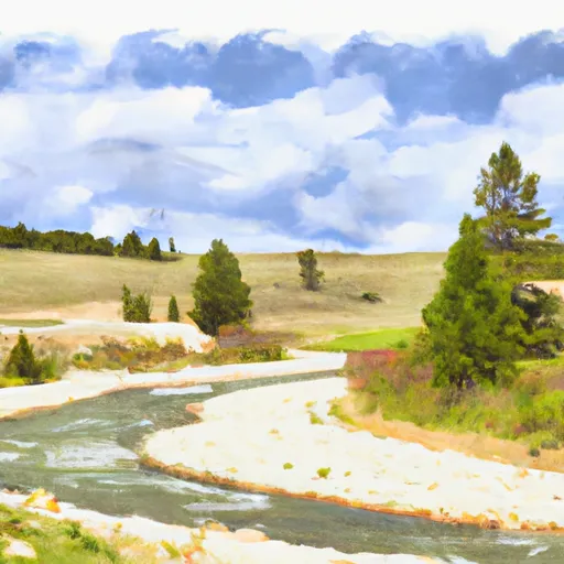
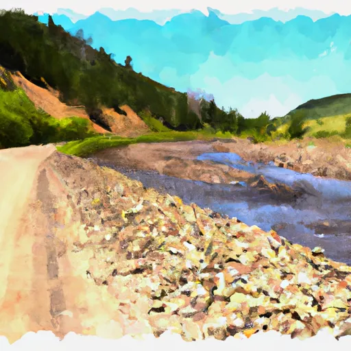
Macdonald Pond Dam, located in Beaverhead, Montana, was completed in 1953 and is owned and managed by the U.S.
Summary
Fish and Wildlife Service. The primary purpose of this earth dam is to serve as a fish and wildlife pond, providing essential habitat for various aquatic species. With a height of 9 feet and a length of 517 feet, the dam has a storage capacity of 76 acre-feet, with a normal storage of 16 acre-feet and a surface area of 5 acres.
Despite its low hazard potential, the dam's condition assessment is rated as poor as of the last inspection in August 2018. The inspection frequency is set at every 5 years, with the most recent inspection revealing maintenance and safety concerns. Macdonald Pond Dam features controlled outlet gates and a spillway width of 185 feet. The dam is a crucial component of the Elk Creek to Red Rock River water system, providing essential support for the local aquatic ecosystem.
Regional Streamflow Levels
15-Day Long Term Forecast
Year Completed |
1953 |
Dam Length |
517 |
Dam Height |
9 |
River Or Stream |
ELK CREEK TO RED ROCK RIVER |
Primary Dam Type |
Earth |
Surface Area |
5 |
Hydraulic Height |
9 |
Drainage Area |
14.3 |
Nid Storage |
76 |
Structural Height |
9 |
Outlet Gates |
Other Controlled |
Hazard Potential |
Low |
Foundations |
Soil |
Nid Height |
9 |
Seasonal Comparison
5-Day Hourly Forecast Detail
Dam Data Reference
Condition Assessment
SatisfactoryNo existing or potential dam safety deficiencies are recognized. Acceptable performance is expected under all loading conditions (static, hydrologic, seismic) in accordance with the minimum applicable state or federal regulatory criteria or tolerable risk guidelines.
Fair
No existing dam safety deficiencies are recognized for normal operating conditions. Rare or extreme hydrologic and/or seismic events may result in a dam safety deficiency. Risk may be in the range to take further action. Note: Rare or extreme event is defined by the regulatory agency based on their minimum
Poor A dam safety deficiency is recognized for normal operating conditions which may realistically occur. Remedial action is necessary. POOR may also be used when uncertainties exist as to critical analysis parameters which identify a potential dam safety deficiency. Investigations and studies are necessary.
Unsatisfactory
A dam safety deficiency is recognized that requires immediate or emergency remedial action for problem resolution.
Not Rated
The dam has not been inspected, is not under state or federal jurisdiction, or has been inspected but, for whatever reason, has not been rated.
Not Available
Dams for which the condition assessment is restricted to approved government users.
Hazard Potential Classification
HighDams assigned the high hazard potential classification are those where failure or mis-operation will probably cause loss of human life.
Significant
Dams assigned the significant hazard potential classification are those dams where failure or mis-operation results in no probable loss of human life but can cause economic loss, environment damage, disruption of lifeline facilities, or impact other concerns. Significant hazard potential classification dams are often located in predominantly rural or agricultural areas but could be in areas with population and significant infrastructure.
Low
Dams assigned the low hazard potential classification are those where failure or mis-operation results in no probable loss of human life and low economic and/or environmental losses. Losses are principally limited to the owner's property.
Undetermined
Dams for which a downstream hazard potential has not been designated or is not provided.
Not Available
Dams for which the downstream hazard potential is restricted to approved government users.
Area Campgrounds
| Location | Reservations | Toilets |
|---|---|---|
 Elk Lake Dispersed Camping and Picnic Area
|
||
 Upper Lake Campground
|
||
 Upper Lake
|
||
 Cliff Point Campground
|
||
 Cliff Point
|
||
 Hilltop
|
River Runs
-
 Shakelford Homestead, Sec. 26, T12S, R1W To 1/2 Mi Below Landon Camp, Sec. 32, T12S, R1W
-
 1/2 Below Landon Camp, Sec. 32, T12S, R1W To Up River 3/4 Mi, Sec. 31, T12S, R1W
-
 1/4 Mi West Landon Camp, Sec. 31, T12S, R1W To Fossil Creek, Sec. 27, T12S, R2W
-
 Elk Rv & Wf Madison Rv, Sec. 17, T12S, R1E To Dirty Creek, Sec. 11, T11S, R1W
-
 Jackpine Rd & Wf Madison Rd, Sec. 4, T12S, R1E To Shakelford Homestead, Sec. 25, T1S, R1W
-
 Dirty Ck To Elk River & Gravelly Range Road #290, Sec. 15 T11S R2W