


Shawnee Fossil Plant - Ash Disposal Area Perimeter Dike Reservoir Report
Last Updated: May 9, 2026
°F
°F
mph
Wind
%
Humidity
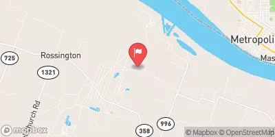
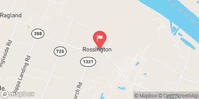
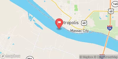
The Shawnee Fossil Plant - Ash Disposal Area Perimeter Dike in Paducah, Kentucky, is a crucial structure owned and operated by the Tennessee Valley Authority.
Summary
This Earth-type dam, standing at a height of 38 feet and spanning a length of 13,821 feet, was completed in 1957 to serve various purposes related to ash disposal. With a storage capacity of 550 acre-feet and a significant hazard potential, this dike plays a vital role in managing the byproducts of the Shawnee Fossil Plant.
The dam, located off the Ohio River, is designed to handle a maximum discharge of 283 cubic feet per second through an uncontrolled spillway. Despite its age, the structure underwent hydraulic and structural modifications in 2012 to ensure its continued efficacy. The dam's inspection frequency is once per year, with the last evaluation conducted in August 2020. While the condition assessment is currently not available, the risk assessment categorizes the dam as moderate, with a DSAC risk score of 3.
Overall, the Shawnee Fossil Plant - Ash Disposal Area Perimeter Dike stands as a critical component of the Tennessee Valley Authority's infrastructure, serving a vital role in ash management and environmental protection. As a federally owned and operated structure, it exemplifies the commitment to safety and regulatory compliance that is essential in safeguarding water resources and mitigating the impacts of climate change in the region.
Regional Streamflow Levels
 Little Bayou Creek Near Grahamville
|
1cfs |
 Bayou Creek Near Grahamville
|
5cfs |
 Ohio River At Metropolis
|
444000cfs |
 Massac Creek Near Paducah
|
2cfs |
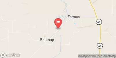 Cache River At Forman
|
44cfs |
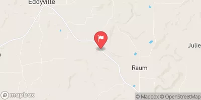 Lusk Creek Near Eddyville
|
30cfs |
15-Day Long Term Forecast
Years Modified |
2012 - Hydraulic, 2012 - Structural |
Year Completed |
1957 |
Dam Length |
13821 |
Dam Height |
38 |
River Or Stream |
OHIO RIVER - OFFSTREAM |
Primary Dam Type |
Earth |
Surface Area |
142 |
Hydraulic Height |
28 |
Drainage Area |
0.64 |
Nid Storage |
550 |
Structural Height |
38 |
Outlet Gates |
Uncontrolled |
Hazard Potential |
Significant |
Foundations |
Soil |
Nid Height |
38 |
Seasonal Comparison
5-Day Hourly Forecast Detail
Dam Data Reference
Condition Assessment
SatisfactoryNo existing or potential dam safety deficiencies are recognized. Acceptable performance is expected under all loading conditions (static, hydrologic, seismic) in accordance with the minimum applicable state or federal regulatory criteria or tolerable risk guidelines.
Fair
No existing dam safety deficiencies are recognized for normal operating conditions. Rare or extreme hydrologic and/or seismic events may result in a dam safety deficiency. Risk may be in the range to take further action. Note: Rare or extreme event is defined by the regulatory agency based on their minimum
Poor A dam safety deficiency is recognized for normal operating conditions which may realistically occur. Remedial action is necessary. POOR may also be used when uncertainties exist as to critical analysis parameters which identify a potential dam safety deficiency. Investigations and studies are necessary.
Unsatisfactory
A dam safety deficiency is recognized that requires immediate or emergency remedial action for problem resolution.
Not Rated
The dam has not been inspected, is not under state or federal jurisdiction, or has been inspected but, for whatever reason, has not been rated.
Not Available
Dams for which the condition assessment is restricted to approved government users.
Hazard Potential Classification
HighDams assigned the high hazard potential classification are those where failure or mis-operation will probably cause loss of human life.
Significant
Dams assigned the significant hazard potential classification are those dams where failure or mis-operation results in no probable loss of human life but can cause economic loss, environment damage, disruption of lifeline facilities, or impact other concerns. Significant hazard potential classification dams are often located in predominantly rural or agricultural areas but could be in areas with population and significant infrastructure.
Low
Dams assigned the low hazard potential classification are those where failure or mis-operation results in no probable loss of human life and low economic and/or environmental losses. Losses are principally limited to the owner's property.
Undetermined
Dams for which a downstream hazard potential has not been designated or is not provided.
Not Available
Dams for which the downstream hazard potential is restricted to approved government users.
Area Campgrounds
| Location | Reservations | Toilets |
|---|---|---|
 Pearcy Camp
|
||
 Cedar Grove Camping Area
|
||
 Red Bud Campground
|
||
 Camp Ondessonk
|
||
 Turkey Ridge Tent Campground
|
||
 Teal Pond Campground
|
 Metropolis Boat Ramp
River Runs
-
 Bridge At Eddyville Blacktop To Confluence With Ohio River At Golconda,Il
-
 1 Minle Southwest Of Delwood, Il (Sec. 18, T11S, R13E) To Reesville, 1/4 Mile South Of The Confluence With Sugar Creek
-
 Source, About 2 Miles East Of Delwood, Il (Sec 10, T11S, R6E) To Bridge At Eddyville Blacktop (Se1/4,Sec.16,T12S, R6E)
-
 Wallace Cemetery Approx 2.5 Miles Nw Of Herod, Il To Confluence With Ohio River At Golconda Jobs Corp Center
-
 Russell Cemetery, Approx 1/4 Mile North Of Karbers Ridge Road To Proclamation Boundary, 1 Mile Nw Of Elizabethtown,Il
-
 1 Mile West Of Alto Pass, Il To 1/2 Mile South Of Confluence With Clear Creek, West Of Trail Of Tears State Forest
 Dutchman Lake
 Lake of Egypt
 One Horse Gap Lake
 Whoopie Cat Lake
 Lake Tecumseh