Belva-Deer Park Sediment Dam Reservoir Report
Last Updated: February 2, 2026
Belva-Deer Park Sediment Dam is a captivating water resource structure located in Keokuk County, Iowa, specifically in the city of Coppock.
°F
°F
mph
Wind
%
Humidity
15-Day Weather Outlook
Summary
Built in 1974 by the USDA NRCS, this earth dam serves multiple purposes, including fire protection, stock, small fish pond, and recreation. It stands at a height of 29 feet and stretches 590 feet in length, with a storage capacity of 149 acre-feet and a surface area of 8.5 acres. The dam is situated on TR-German Creek and is regulated by the Iowa Department of Natural Resources, with state permitting, inspection, and enforcement in place.
The primary purpose of Belva-Deer Park Sediment Dam is for recreation, providing a serene and picturesque setting for visitors to enjoy nature and outdoor activities. Despite its low hazard potential, the dam is categorized as having a moderate risk level, indicating the need for ongoing risk management measures. While the condition of the dam is currently not rated, its design and construction by the Natural Resources Conservation Service ensure its stability and effectiveness in sediment control and water management. For water resource and climate enthusiasts, this dam serves as a valuable asset in preserving the health and integrity of the surrounding ecosystem.
Located in a scenic area along TR-German Creek, Belva-Deer Park Sediment Dam offers a unique blend of environmental conservation and recreational opportunities. With its earth structure and soil foundation, the dam represents a successful collaboration between local government and federal agencies to manage water resources effectively. Its presence not only contributes to fire protection and aquatic habitat preservation but also enhances the overall quality of life for residents and visitors alike. As a regulated and inspected facility, the dam serves as a model for responsible water infrastructure management in the state of Iowa, highlighting the importance of sustainable practices in maintaining a balanced ecosystem.
Year Completed |
1974 |
Dam Length |
590 |
Dam Height |
29 |
River Or Stream |
TR-GERMAN CREEK |
Primary Dam Type |
Earth |
Surface Area |
8.5 |
Drainage Area |
0.16 |
Nid Storage |
149 |
Hazard Potential |
Low |
Foundations |
Soil |
Nid Height |
29 |
Seasonal Comparison
Hourly Weather Forecast
Nearby Streamflow Levels
 North Skunk River Near Sigourney
|
97cfs |
 English River At Kalona
|
41cfs |
 Big Bear Creek At Ladora
|
133cfs |
 South Skunk River Near Oskaloosa
|
485cfs |
 Des Moines River At Ottumwa
|
1090cfs |
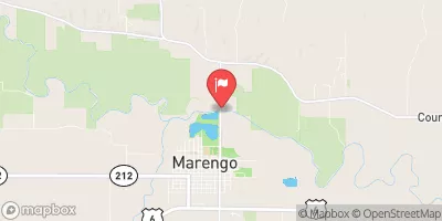 Iowa River At Marengo
|
818cfs |
Dam Data Reference
Condition Assessment
SatisfactoryNo existing or potential dam safety deficiencies are recognized. Acceptable performance is expected under all loading conditions (static, hydrologic, seismic) in accordance with the minimum applicable state or federal regulatory criteria or tolerable risk guidelines.
Fair
No existing dam safety deficiencies are recognized for normal operating conditions. Rare or extreme hydrologic and/or seismic events may result in a dam safety deficiency. Risk may be in the range to take further action. Note: Rare or extreme event is defined by the regulatory agency based on their minimum
Poor A dam safety deficiency is recognized for normal operating conditions which may realistically occur. Remedial action is necessary. POOR may also be used when uncertainties exist as to critical analysis parameters which identify a potential dam safety deficiency. Investigations and studies are necessary.
Unsatisfactory
A dam safety deficiency is recognized that requires immediate or emergency remedial action for problem resolution.
Not Rated
The dam has not been inspected, is not under state or federal jurisdiction, or has been inspected but, for whatever reason, has not been rated.
Not Available
Dams for which the condition assessment is restricted to approved government users.
Hazard Potential Classification
HighDams assigned the high hazard potential classification are those where failure or mis-operation will probably cause loss of human life.
Significant
Dams assigned the significant hazard potential classification are those dams where failure or mis-operation results in no probable loss of human life but can cause economic loss, environment damage, disruption of lifeline facilities, or impact other concerns. Significant hazard potential classification dams are often located in predominantly rural or agricultural areas but could be in areas with population and significant infrastructure.
Low
Dams assigned the low hazard potential classification are those where failure or mis-operation results in no probable loss of human life and low economic and/or environmental losses. Losses are principally limited to the owner's property.
Undetermined
Dams for which a downstream hazard potential has not been designated or is not provided.
Not Available
Dams for which the downstream hazard potential is restricted to approved government users.
Area Campgrounds
| Location | Reservations | Toilets |
|---|---|---|
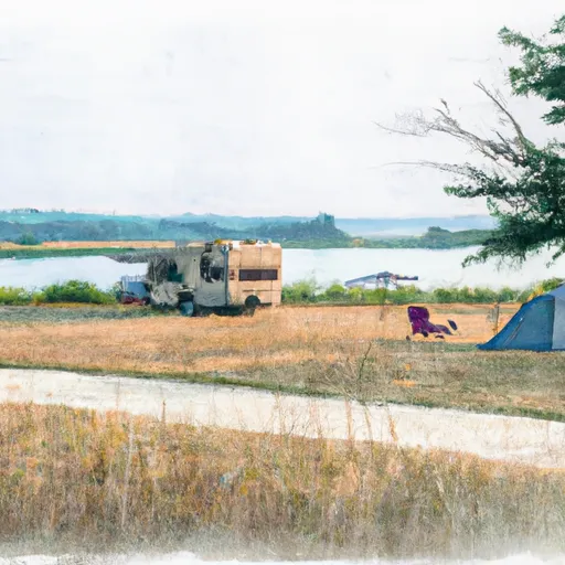 Belva - Deer Rec Area
|
||
 Yenruogis County Park
|
||
 Chacauqua River Access
|
||
 Manhattan Bridge Access
|
||
 Skunk River Access
|

 Belva-Deer Park Sediment Dam