Charles Cannon Reservoir Report
Last Updated: February 5, 2026
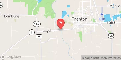
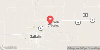
Located in Decatur, Iowa, the Charles Cannon structure is a privately owned dam designed by the USDA NRCS for purposes of fire protection, stock, and small fish pond maintenance.
°F
°F
mph
Wind
%
Humidity
15-Day Weather Outlook
Summary
Completed in 1980, this earth dam stands at a height of 18 feet and stretches 375 feet in length. With a storage capacity of 54 acre-feet and a drainage area of 0.35 square miles, the dam serves as a critical resource for the surrounding area.
Situated along Tr- Shane Creek in the Rock Island District, the Charles Cannon structure boasts a spillway width of 12 feet and a low hazard potential. Despite a moderate risk assessment score, the condition assessment is currently listed as "Not Available." With uncontrolled outlet gates and a surface area of 3 acres, the dam remains a valuable asset for both water resource management and climate resilience in the region.
Owned by a private entity, Charles Cannon's primary purpose is to provide essential services for the local community while maintaining a sustainable environment. The dam's strategic location and design by the USDA NRCS underscore its importance for fire protection, stock maintenance, and water management initiatives. As water resource and climate enthusiasts, the Charles Cannon structure serves as a beacon of innovation and stewardship in safeguarding the surrounding ecosystem.
Year Completed |
1980 |
Dam Length |
375 |
Dam Height |
18 |
River Or Stream |
Tr- Shane Creek |
Primary Dam Type |
Earth |
Surface Area |
3 |
Drainage Area |
0.35 |
Nid Storage |
54 |
Outlet Gates |
Uncontrolled |
Hazard Potential |
Low |
Foundations |
Soil |
Nid Height |
18 |
Seasonal Comparison
Hourly Weather Forecast
Nearby Streamflow Levels
Dam Data Reference
Condition Assessment
SatisfactoryNo existing or potential dam safety deficiencies are recognized. Acceptable performance is expected under all loading conditions (static, hydrologic, seismic) in accordance with the minimum applicable state or federal regulatory criteria or tolerable risk guidelines.
Fair
No existing dam safety deficiencies are recognized for normal operating conditions. Rare or extreme hydrologic and/or seismic events may result in a dam safety deficiency. Risk may be in the range to take further action. Note: Rare or extreme event is defined by the regulatory agency based on their minimum
Poor A dam safety deficiency is recognized for normal operating conditions which may realistically occur. Remedial action is necessary. POOR may also be used when uncertainties exist as to critical analysis parameters which identify a potential dam safety deficiency. Investigations and studies are necessary.
Unsatisfactory
A dam safety deficiency is recognized that requires immediate or emergency remedial action for problem resolution.
Not Rated
The dam has not been inspected, is not under state or federal jurisdiction, or has been inspected but, for whatever reason, has not been rated.
Not Available
Dams for which the condition assessment is restricted to approved government users.
Hazard Potential Classification
HighDams assigned the high hazard potential classification are those where failure or mis-operation will probably cause loss of human life.
Significant
Dams assigned the significant hazard potential classification are those dams where failure or mis-operation results in no probable loss of human life but can cause economic loss, environment damage, disruption of lifeline facilities, or impact other concerns. Significant hazard potential classification dams are often located in predominantly rural or agricultural areas but could be in areas with population and significant infrastructure.
Low
Dams assigned the low hazard potential classification are those where failure or mis-operation results in no probable loss of human life and low economic and/or environmental losses. Losses are principally limited to the owner's property.
Undetermined
Dams for which a downstream hazard potential has not been designated or is not provided.
Not Available
Dams for which the downstream hazard potential is restricted to approved government users.


 Charles Cannon