


Dam Five Lake Reservoir Report
Last Updated: May 1, 2026
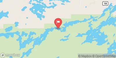
Nearby: Wilson Lake Mcdougal Lake
°F
°F
mph
Wind
%
Humidity
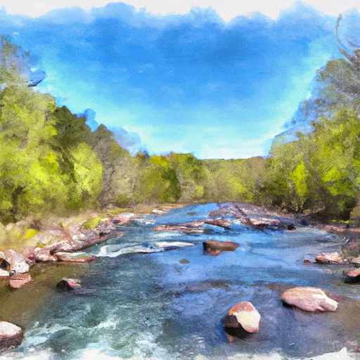
Dam Five Lake, located in Minnesota, stands as a testament to early 20th-century engineering with its construction completed in 1900.
Summary
This federal-owned dam, situated in the St. Paul District, serves a primary purpose that falls under the 'Other' category. With a structural height of 15 feet and a length of 300 feet, Dam Five Lake boasts a storage capacity of 690 acre-feet and a normal storage level of 506 acre-feet. The dam, built on Wanless Creek, has a low hazard potential and has not been inspected since August 1972.
Despite its age, Dam Five Lake remains a key component in regulating water flow in the region, with a maximum discharge capacity of 100 cubic feet per second. The dam, made of buttress core types and resting on an unlisted/unknown foundation, covers a surface area of 78 acres and drains a small area of 0.9 square miles. While the dam's condition assessment remains 'Not Rated,' its low hazard potential suggests that it continues to fulfill its intended purpose effectively. As an essential piece of infrastructure in the area, Dam Five Lake provides a glimpse into the history of water resource management in Minnesota.
Regional Streamflow Levels
 Kawishiwi River Near Ely
|
1520cfs |
 South Kawishiwi River Near Ely
|
4420cfs |
 South Kawishiwi R Abv White Iron Lake Nr Ely
|
6950cfs |
 Basswood River Near Winton
|
5280cfs |
15-Day Long Term Forecast
Year Completed |
1900 |
Dam Length |
300 |
Dam Height |
12 |
River Or Stream |
WANLESS CREEK |
Primary Dam Type |
Other |
Surface Area |
78 |
Drainage Area |
0.9 |
Nid Storage |
690 |
Structural Height |
15 |
Hazard Potential |
Low |
Foundations |
Unlisted/Unknown |
Nid Height |
15 |
Seasonal Comparison
5-Day Hourly Forecast Detail
Dam Data Reference
Condition Assessment
SatisfactoryNo existing or potential dam safety deficiencies are recognized. Acceptable performance is expected under all loading conditions (static, hydrologic, seismic) in accordance with the minimum applicable state or federal regulatory criteria or tolerable risk guidelines.
Fair
No existing dam safety deficiencies are recognized for normal operating conditions. Rare or extreme hydrologic and/or seismic events may result in a dam safety deficiency. Risk may be in the range to take further action. Note: Rare or extreme event is defined by the regulatory agency based on their minimum
Poor A dam safety deficiency is recognized for normal operating conditions which may realistically occur. Remedial action is necessary. POOR may also be used when uncertainties exist as to critical analysis parameters which identify a potential dam safety deficiency. Investigations and studies are necessary.
Unsatisfactory
A dam safety deficiency is recognized that requires immediate or emergency remedial action for problem resolution.
Not Rated
The dam has not been inspected, is not under state or federal jurisdiction, or has been inspected but, for whatever reason, has not been rated.
Not Available
Dams for which the condition assessment is restricted to approved government users.
Hazard Potential Classification
HighDams assigned the high hazard potential classification are those where failure or mis-operation will probably cause loss of human life.
Significant
Dams assigned the significant hazard potential classification are those dams where failure or mis-operation results in no probable loss of human life but can cause economic loss, environment damage, disruption of lifeline facilities, or impact other concerns. Significant hazard potential classification dams are often located in predominantly rural or agricultural areas but could be in areas with population and significant infrastructure.
Low
Dams assigned the low hazard potential classification are those where failure or mis-operation results in no probable loss of human life and low economic and/or environmental losses. Losses are principally limited to the owner's property.
Undetermined
Dams for which a downstream hazard potential has not been designated or is not provided.
Not Available
Dams for which the downstream hazard potential is restricted to approved government users.
Area Campgrounds
 Harriet Lake Rustic Campground
 Hogback Lake Rustic Campground & Backcountry Sites
 Hogback Lake Campground
 Wilson Lake Rustic Campground & Backcountry Sites
 Harriet Lake
 Shoepack Lake
 Hogback Lupus Trail Loop Lake County
River Runs
-
 Confluence With Plouff Creek To Lake Superior In T59N, R4W
-
 Bwcaw Boundary To Confluence With Plouff Creek
-
 North Temperance Lake In T63N, R4W To Bwcaw Boundary In T62N, R4W
-
 Horshoe Lake In T64N, R1W To Bwcaw Boundary
-
 Bwcaw Boundary To Forest Boundary In T62N, R2E
-
 Forest Boundary To Lake Superior In T62N, R3E
 Ada Creek
 August Lake
 Beaver Hut Lake
 Ahsub Lake
 Glacier Pond 1