


Wilson Lake Reservoir Report
Last Updated: May 1, 2026
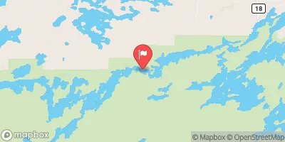
Nearby: Dam Five Lake Mcdougal Lake
°F
°F
mph
Wind
%
Humidity
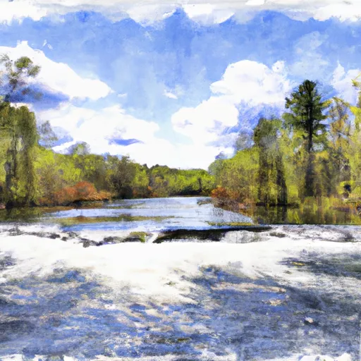
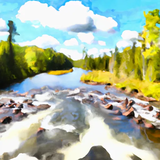
Wilson Lake, located in Schroeder, Minnesota, is a privately owned reservoir with a primary purpose of recreation.
Summary
The rockfill dam, completed in 1961, stands at a height of 15 feet and has a storage capacity of 9990 acre-feet. The lake covers an area of 650 acres and is fed by Wilson Creek, providing a serene setting for water and climate enthusiasts to explore and enjoy.
Despite its low hazard potential, Wilson Lake's dam is in poor condition, with the last inspection in 2019 revealing maintenance issues. The state of Minnesota regulates the dam, conducting inspections and enforcement as needed to ensure safety. While the lake's recreational value remains high, ongoing assessments and potential risk management measures may be necessary to address the dam's structural concerns and maintain the integrity of this beloved water resource.
As a popular spot for outdoor activities and relaxation, Wilson Lake offers a vital recreational escape for visitors seeking to connect with nature. Its picturesque setting along Wilson Creek, combined with its significant storage capacity and drainage area, make it a valuable asset in Minnesota's water resource network. While the dam's condition assessment indicates room for improvement, the lake's continued regulation and oversight aim to preserve its charm and safety for generations to come.
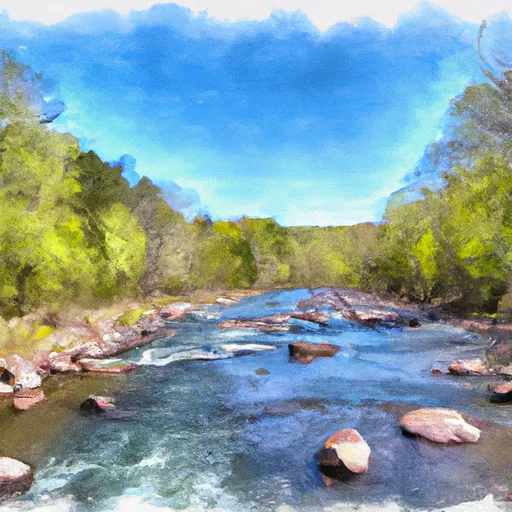
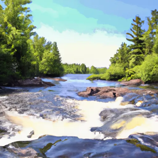
Regional Streamflow Levels
 Kawishiwi River Near Ely
|
1520cfs |
 South Kawishiwi River Near Ely
|
4420cfs |
 South Kawishiwi R Abv White Iron Lake Nr Ely
|
6950cfs |
 Basswood River Near Winton
|
5280cfs |
15-Day Long Term Forecast
Year Completed |
1961 |
Dam Length |
30 |
Dam Height |
15 |
River Or Stream |
WILSON CREEK |
Primary Dam Type |
Rockfill |
Surface Area |
650 |
Drainage Area |
5.2 |
Nid Storage |
9990 |
Structural Height |
15 |
Hazard Potential |
Low |
Foundations |
Unlisted/Unknown |
Nid Height |
15 |
Seasonal Comparison
5-Day Hourly Forecast Detail
Dam Data Reference
Condition Assessment
SatisfactoryNo existing or potential dam safety deficiencies are recognized. Acceptable performance is expected under all loading conditions (static, hydrologic, seismic) in accordance with the minimum applicable state or federal regulatory criteria or tolerable risk guidelines.
Fair
No existing dam safety deficiencies are recognized for normal operating conditions. Rare or extreme hydrologic and/or seismic events may result in a dam safety deficiency. Risk may be in the range to take further action. Note: Rare or extreme event is defined by the regulatory agency based on their minimum
Poor A dam safety deficiency is recognized for normal operating conditions which may realistically occur. Remedial action is necessary. POOR may also be used when uncertainties exist as to critical analysis parameters which identify a potential dam safety deficiency. Investigations and studies are necessary.
Unsatisfactory
A dam safety deficiency is recognized that requires immediate or emergency remedial action for problem resolution.
Not Rated
The dam has not been inspected, is not under state or federal jurisdiction, or has been inspected but, for whatever reason, has not been rated.
Not Available
Dams for which the condition assessment is restricted to approved government users.
Hazard Potential Classification
HighDams assigned the high hazard potential classification are those where failure or mis-operation will probably cause loss of human life.
Significant
Dams assigned the significant hazard potential classification are those dams where failure or mis-operation results in no probable loss of human life but can cause economic loss, environment damage, disruption of lifeline facilities, or impact other concerns. Significant hazard potential classification dams are often located in predominantly rural or agricultural areas but could be in areas with population and significant infrastructure.
Low
Dams assigned the low hazard potential classification are those where failure or mis-operation results in no probable loss of human life and low economic and/or environmental losses. Losses are principally limited to the owner's property.
Undetermined
Dams for which a downstream hazard potential has not been designated or is not provided.
Not Available
Dams for which the downstream hazard potential is restricted to approved government users.
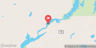
Area Campgrounds
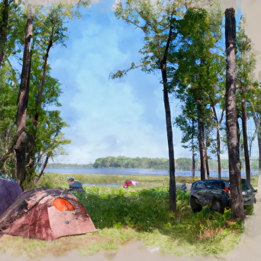
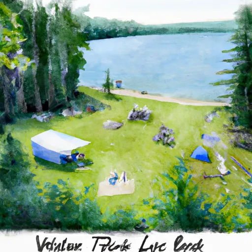
 Wilson Lake Rustic Campground & Backcountry Sites
 Harriet Lake Rustic Campground
 Harriet Lake
 Whitefish Lake Rustic Campgd & Timber-Frear Area
 Whitefish Lake
 Hogback Lake Rustic Campground & Backcountry Sites
 Hogback Lupus Trail Loop Lake County
River Runs
-
 Confluence With Plouff Creek To Lake Superior In T59N, R4W
-
 Bwcaw Boundary To Confluence With Plouff Creek
-
 North Temperance Lake In T63N, R4W To Bwcaw Boundary In T62N, R4W
-
 Horshoe Lake In T64N, R1W To Bwcaw Boundary
-
 Bwcaw Boundary To Forest Boundary In T62N, R2E
-
 Forest Boundary To Lake Superior In T62N, R3E
 Cloquet Lake
 August Lake
 Ahsub Lake
 Beaver Hut Lake
 Glacier Pond 1